
OS grid reference TL764210 Sovereign state United Kingdom Dialling code 01376 | Civil parish Black Notley Local time Friday 10:42 AM | |
 | ||
Population 1,646 (2001)2,478 (2011) Weather 7°C, Wind SE at 19 km/h, 89% Humidity | ||
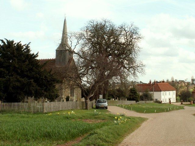
Black Notley is a village and civil parish in Essex, England. It is located approximately 3 km (1.9 mi) south of Braintree and is 15 km (9.3 mi) north-northeast from the county town of Chelmsford. The village is in the district and parliamentary constituency of Braintree. The parish is part of the Cressing, Black Notley, White Notley and Faulkbourne parish cluster.
Contents
Map of Black Notley, UK
The place-name 'Notley' is first attested in a Saxon charter of 998 as Hnutlea, and appears as 'Nutlea' in the Domesday Book of 1086. The name means 'nut wood'. 'Black Notley' is first attested in 1240.
According to the 2011 census including Young's End it had a population of 2,478.
Cressing railway station, on the Braintree Branch Line, is less than 1 km from the village. It is close to the River Brain. In 2002 work was completed on the new estate, built in place of the old hospital giving 350 new houses to the area.