
OS grid reference TL792209 Sovereign state United Kingdom Local time Friday 2:11 PM | Civil parish Cressing Post town BRAINTREE Dialling code 01376 | |
 | ||
Weather 9°C, Wind SE at 18 km/h, 85% Humidity | ||
Cressing temple farmstead essex
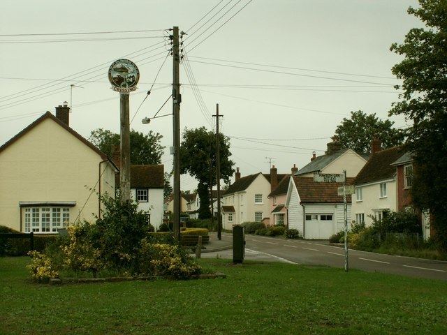
Cressing is a village located in the Braintree district of Essex, United Kingdom. Nearby villages include Tye Green and Hawbush Green to the east, both of which are located within Cressing civil parish. To the east is Silver End. The nearest station is Cressing railway station, located about a mile away on the Braintree Branch Line.
Contents
- Cressing temple farmstead essex
- Map of Cressing UK
- Temple at war 14th 15th may 2016 cressing temple barns braintree
- References
Map of Cressing, UK
The village has two churches, two pubs and a business park. A couple of miles south of the village is Cressing Temple which is actually located near White Notley.
The village also runs a men's Sunday League team as well as some youth football teams who play at Cressing Sports & Social Club, Jeffrey's Road.
Temple at war 14th 15th may 2016 cressing temple barns braintree
References
Cressing Wikipedia(Text) CC BY-SA