
Prominence 400 ft (120 m) | Topo map USGS Nimblewill | |
 | ||
Elevation 3600+ ft (1097+ m) NGVD 29 Parent range Georgia Blue Ridge Mountains | ||
For other mountains with the same name, see Black Mountain. Should not be confused with Black Mountain, Union County, Georgia.
Contents
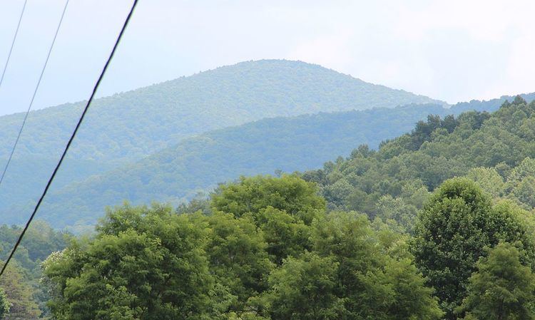
Black Mountain is located in Georgia USA on the boundary between Dawson and Gilmer counties. The summit is the highest point in Dawson County. It is in the Chattahoochee National Forest and is part of the Blue Ridge Wildlife Management Area.
GeographyEdit
Black Mountain is located on the border of Dawson and Gilmer counties. Its elevation is about 3,600 feet. The mountain is located about 4 miles north of Amicalola Falls State Park, 14 miles northwest of Dahlonega and 17 miles southwest of Ellijay. Springer Mountain, the southern terminus of the Appalachian Trail, is located about 1 mile (1.6 km) northeast of Black Mountain. Other nearby geographical features include Nimblewill Gap, Frosty Mountain and Tickanetley Creek.
HikingEdit
Black Mountain can be reached via the Appalachian Approach Trail. It is a 5.5 miles (8.9 km) hike north from Amicalola Falls State Park, a 0.6 miles (0.97 km) hike north from Nimblewill Gap, and a 2.3 miles (3.7 km) mile hike south from Springer Mountain on the trail.