
OS grid reference TL5991 | Sovereign state United Kingdom Postcode district CB6 | |
 | ||
Weather 7°C, Wind SE at 19 km/h, 92% Humidity | ||
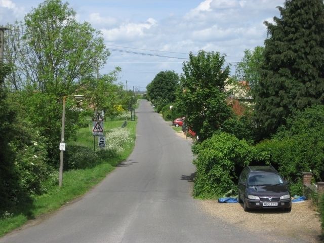
Black Horse Drove is a linear hamlet that lies 7 miles (11 km) north-north-east of Ely in Cambridgeshire, England in the civil parish of Littleport (where the population is included). Black Horse Drove is located off the Ten Mile Bank, a long road which runs alongside the north-western bank of the river Great Ouse between Littleport and Southery in Norfolk.
Contents
Black Horse Drove is in the Fens and much of the village is around 6 feet (1.8 m) below sea level.
The estimated population of Black Horse Drove in 2010 was 220 in 93 dwellings.
Facilities
A Wesleyan chapel was built in 1843 and rebuilt in 1897 but it has now been converted to a private residence.
A school was built in Black Horse Drove c.1874 but due to overcrowding and its dangerous condition, a new school called the Coronation County Primary Junior and Infants School was built in 1937. The old school was used as a community centre until 2008 when it was acquired by Littleport Parish Council and then refurbished. The community centre re-opened on 15 October 2011.
The Black Horse public house was built c.1912 but has closed and is now a private residence.
In Black Horse Drove there is also a children's play area and a playing field.
Transport
There is a bus service that runs one day a week to Littleport, Prickwillow and Ely.
The nearest railway station is 5 miles (8.0 km) away at Littleport.