
Population 144 (2011) Civil parish Bixley Area 5.42 km² | OS grid reference TG254059 Sovereign state United Kingdom Local time Thursday 11:18 PM | |
 | ||
Weather 3°C, Wind S at 14 km/h, 77% Humidity | ||
Bixley is a civil parish in the South Norfolk district of Norfolk, England. According to the 2001 census and 2011 census it contained 60 households and a population of 144. It covers an area south of Norwich including the village of Arminghall.
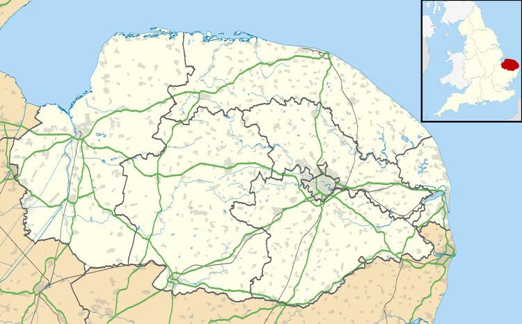
Map of Bixley, UK
The origin the name of Bixley has been studied in a paper by Keith Briggs; it means `clearing in bushy land'. The name of Bixley near Ipswich has the same origin.
In May 2004, the parish church of St Wandregesilius dating from 1272 was set on fire by arsonists and gutted. The church had no electricity and used gas cylinders for heating which it is believed were used by vandals to start the fire. St Wandregesilius is a Latinised form of St Wandrille and it is the only church dedicated to this 7th century French abbot.
Sir Timothy Colman lives in Bixley Manor in the grounds of which is the seven-storey stump of Bixley Tower Mill dating from 1838. At eleven storeys this was once the tallest windmill in Norfolk and possibly the tallest in Britain. It was reduced to its current height in 1872.