
Affiliation Agricultural Union Population (2015) 361 | Founded 1936 Local time Thursday 11:45 PM | |
 | ||
Weather 14°C, Wind SE at 10 km/h, 89% Humidity | ||
Bitan aharon nature reserve
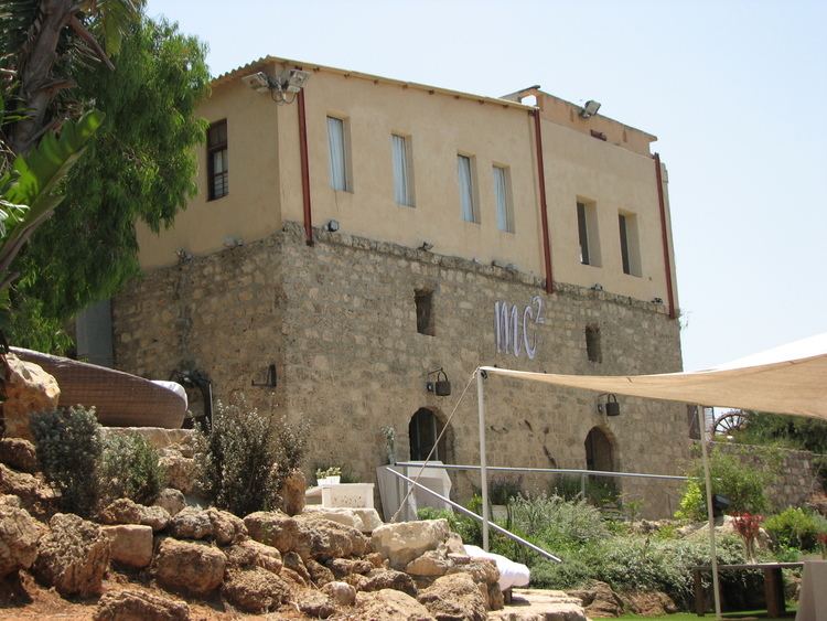
Bitan Aharon (Hebrew: בִּיתַן אַהֲרֹן, lit. Aharon's Pavilion) is a moshav in central Israel. Located in the Sharon plain between Hadera and Netanya, it falls under the jurisdiction of Hefer Valley Regional Council. In 2015 it had a population of 361.
Contents
- Bitan aharon nature reserve
- Map of Bitan Aharon Israel
- Otto bitan aharon
- History
- Bitan Aharon nature reserve
- References
Map of Bitan Aharon, Israel
Otto bitan aharon
History
The moshav was founded in 1936. During its first years the members of the moshav hired workers to plant orange groves while its members lived in the cities. A decade later the village became more developed with new settlers joining. In 1947 it had a population of 100. The village was named after Aharon Freeman, a Canadian Zionist activist.
Bitan Aharon nature reserve
A 46-dunam nature reserve was declared in 1968, just east of the moshav. The reserve covers part of the second (middle) Kurkar ridge that runs on a north-south axis in this part of the Israeli coastal plain, and therefore includes a number of ancient rock-hewn tombs and burial caves. Flora includes Ziziphus spina-christi and Pancratium parviflorum.