
OS grid SE820569 Elevation 246 m Listing Marilyn | Topo map OS Landranger 106 Prominence 203 m | |
 | ||
Similar Gisborough Moor, Urra Moor, Mickle Fell, Sighty Crag, Grayrigg Forest | ||
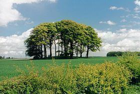
Bishop Wilton Wold is the highest point of the Yorkshire Wolds in the East Riding of Yorkshire, England. The summit, known as Garrowby Hill, lies about 5 miles (8 km) north of Pocklington.
Contents
Map of Bishop Wilton Wold, York, UK
As with most of the wolds, it is wide, flat and agricultural in nature. The A166 road passes right by the top. However it is a Marilyn (having topographic prominence of at least 150 metres [490 ft]). There is a trig point, two covered reservoirs and an aerial.
The British artist David Hockney painted the view from the summit in 1998.
Halifax bomber crash 1944
Around 10 am on 7 February 1944 an Halifax MkV DK192 (OO-N) from 1663 HCU based at RAF Rufforth crashed on Garrowby Hill.
As well as the 7 aircrew who were on a training flight, a passing lorry driver was also killed. There is a memorial in a layby on the A166 at Garrowby Hill