
OS grid SD598998 Elevation 494 m | Topo map OS Landranger 97 Prominence 191 m Listing Marilyn | |
 | ||
Similar Lambrigg Fell, Sighty Crag, Housedon Hill, Aye Gill Pike, Watch Hill | ||
Grayrigg Forest is a hill in England, located on the eastern edge of what might be considered the Lake District, and in August 2016 becoming part of the
Map of Grayrigg Forest, Penrith, UK
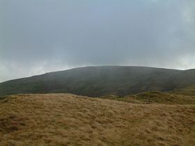
From near the summit, there are impressive views down into the gorge of the Lune valley, where road, West Coast Main Line railway, M6 motorway and River Lune crowd between the outliers of the Lake District and the Howgill Fells.
References
Grayrigg Forest Wikipedia(Text) CC BY-SA