
Admin. region Oberfranken Time zone CET/CEST (UTC+1/+2) Area 17.54 km² Population 6,049 (31 Dec 2008) Dialling code 0951 | Postal codes 96120 Local time Thursday 7:03 PM Postal code 96120 Administrative region Upper Franconia | |
 | ||
Weather 8°C, Wind SW at 13 km/h, 51% Humidity | ||
Bischberg is a community in the Upper Franconian district of Bamberg lying at the forks of the rivers Regnitz and Main some 5 km west of Bamberg.
Contents
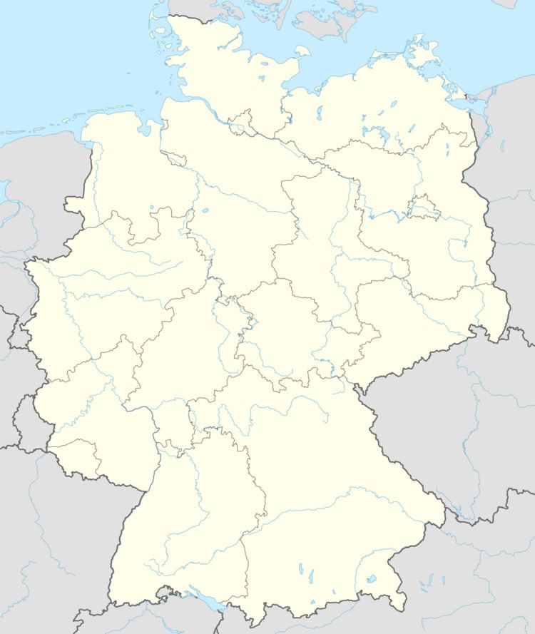
- Map of Bischberg Germany
- Geography
- Constituent communities
- Population figures
- History
- Timber floating
- Politics
- Education
- Sport and leisure facilities
- Town partnership
- Culture and sightseeing
- Sport and sport clubs
- Buildings
- Regular events
- Culinary specialities
- Transport connections
- Volunteer fire brigades
- References
Map of Bischberg, Germany
The community’s name derives from Bischofsberg. Supposedly, the Bishop (Bischof in German) of Würzburg charged the community’s founder with establishing a base at the important confluence of the rivers Regnitz and Main.
Geography
Bischberg lies in the Upper Franconia West planning region. The nearest railway stations are the ones in Trunstadt, Bamberg and Hallstadt.
Constituent communities
Bischberg’s constituent communities are Bischberg, Rothof, Trosdorf, Tütschengereuth and Weipelsdorf, each with an adjoining traditional rural land unit, known in German as a Gemarkung. Each has the same name as the neighbouring constituent community (it is traditional for a Gemarkung to be named after a town or village lying nearby).
Population figures
All population figures are as of 1 January 2007.
The first figure gives the total number of inhabitants, the second the number of inhabitants whose only residence is in the named place, the third the number of inhabitants whose main residence is in the named place and the fourth the number of inhabitants whose residence in the named place is a secondary one.
History
Bischberg had its first documentary mention in 1013 as Biscoffesberge.
Before Secularization, Bischberg belonged to the High Monastery at Bamberg. The most important landowner was the Michelsberg Monastery, which in the 18th century also held the local overlordship. Since the Reichsdeputationshauptschluss of 1803, the community has belonged to Bavaria. In the course of administrative reform in Bavaria, today’s community came into being under the Gemeindeedikt (“Community Edict”) of 1818.
Timber floating
Bischberg’s location at the forks of the rivers Regnitz and Main led to the community’s becoming an important way station for the log drivers from the Frankenwald (forest). In log driving history, Bischberg is called the “second stop”.
The first stop for log drives coming from the Kronach area was Schwürbitz. The next station was then Bischberg. As the Regnitz’s outflow into the Main strengthened this river considerably, twenty-seven of the small rafts that had been driven here downstream could be lashed together to make a Stück (“piece”, meaning a great timber raft), which could then be driven farther down the Main, and then by way of the Rhine all the way to the Netherlands. Later developments in road and railway transport, however, ended the need for these drives, and timber floating died out.
Politics
The full-time mayor is Johann Pfister from the Bürger-Initiative (BI).
The community council is made up of 20 members, listed here by party or voter community affiliation, and also with the number of seats that each holds:
Education
The community of Bischberg has at its disposal the following educational institutions:
Sport and leisure facilities
Besides the many football fields, the Hauptschule has a community indoor swimming pool with a 25-metre basin.
Town partnership
Since August 1987, a partnership has existed with Montauban de Bretagne, France.
Culture and sightseeing
The umbrella organization for Bischberg’s clubs is the Ortskulturring Bischberg.
Sport and sport clubs
The RKB Solidarität Bischberg 1925 e.V. has many times been the German champion in outdoor cycle ball.
Buildings
The most striking building other than the church is the Unteres Schloss (“Lower Palatial Castle”) built in 1743 by Carl Maximilian Zollner von Brand on the occasion of his wedding. Today the building houses a Greek restaurant.
Regular events
The Bischberger Kirchweih, a church consecration festival, is held yearly from the Thursday before to the Monday after the first Sunday in September.
Culinary specialities
Besides the fish from the Main and Regnitz caught and marketed by the local fishermen’s guild, the Brauerei zur Sonne, which is keeping the brewing business in the community alive as the last of five breweries that once made beer here, and whose beers are internationally recognized, is worthy of mention.