
Time zone IST (UTC+5:30) Elevation 371 m Area code 08466 | PIN 503321 Local time Thursday 3:32 PM | |
 | ||
Weather 36°C, Wind E at 6 km/h, 18% Humidity | ||
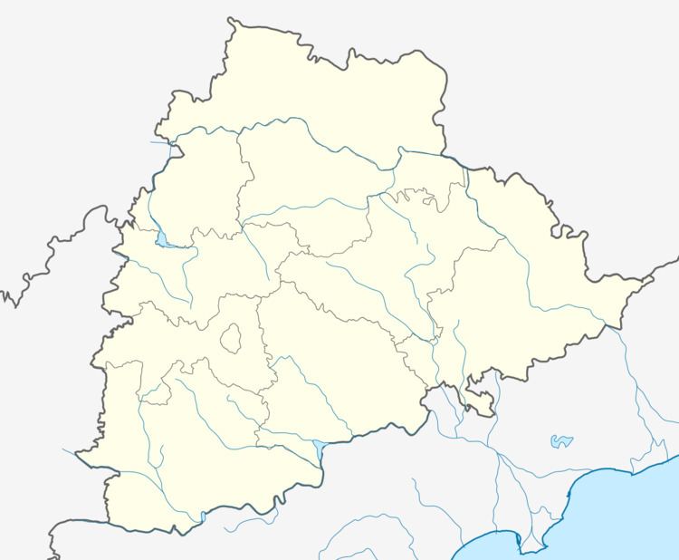
Birkur is located in Nizamabad district on the Manjeera riverbed.
Contents
Map of Birkur, Telangana 503321
Demographics
There is a population of approximately 25,000.
Economy
Birkur's major economy is agrarian (85%) in nature.The rest comprise of small businesses, the public and the private service sector.
Schools
Bikur has a Govt. High School and some private secondary schools.
Transportation
Birkur is well connected by APSRTC with cities and towns like Nizamabad, Bodhan, Banswada, Kotagiri. A Number of auto rickshaws are more than buses
Crops
Birkur is home for many types of crops like Paddy, Sugarcane, sunflower, peanuts (groundnuts), soybean, vegetables and fruits.
History
Prior to the merge with India after independence in 1947,it was ruled by the local king.
References
Birkur Wikipedia(Text) CC BY-SA