
Postal codes 56291 Area 230 ha Postal code 56291 Dialling code 06746 | Time zone CET/CEST (UTC+1/+2) Dialling codes 06746 Local time Thursday 10:55 AM Population 140 (31 Dec 2008) | |
 | ||
Weather 6°C, Wind W at 39 km/h, 59% Humidity | ||
Birkheim is an Ortsgemeinde – a municipality belonging to a Verbandsgemeinde, a kind of collective municipality – in the Rhein-Hunsrück-Kreis (district) in Rhineland-Palatinate, Germany. It belongs to the Verbandsgemeinde of Emmelshausen, whose seat is in the like-named town.
Contents
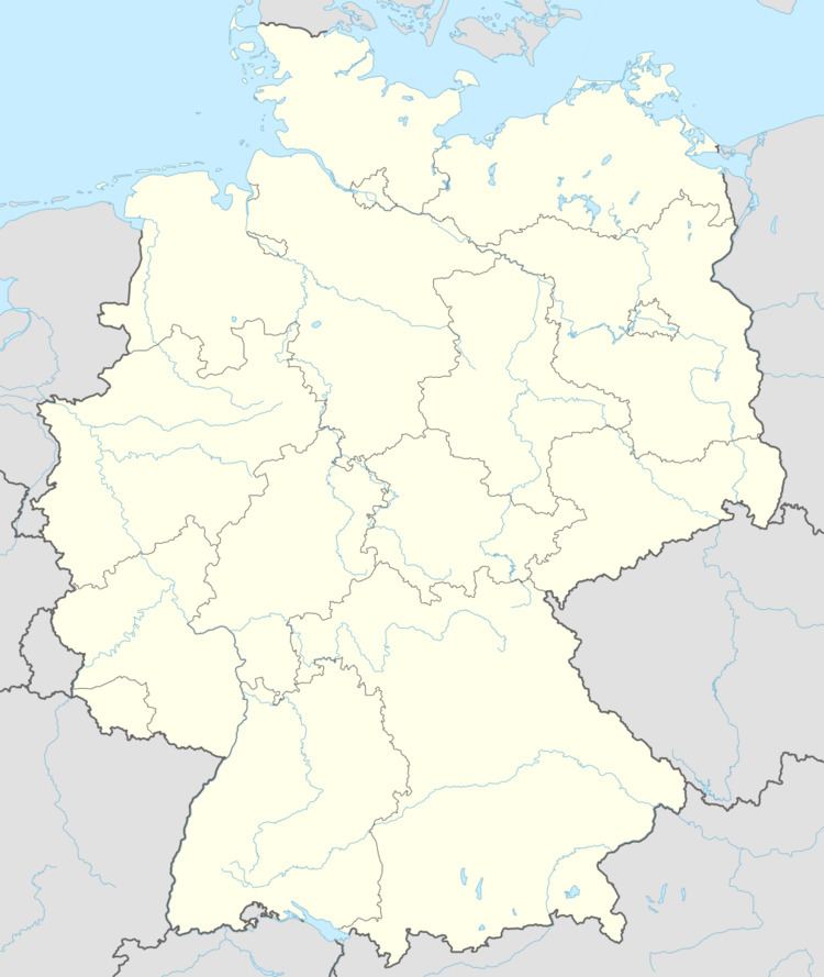
Map of 56291 Birkheim, Germany
Location
The municipality lies in the eastern Hunsrück between the Middle Rhine and Autobahn A 61. Birkheim’s 132 inhabitants live in an area of 220 ha at an elevation of 450 m above sea level.
History
In 1310, Birkheim had its first documentary mention as Bircheym and lay under Electoral-Trier hegemony. Beginning in 1794, Birkheim lay under French rule. In 1815 it was assigned to the Kingdom of Prussia at the Congress of Vienna. Since 1946, it has been part of the then newly founded state of Rhineland-Palatinate.
Municipal council
The council is made up of 6 council members, who were elected by majority vote at the municipal election held on 7 June 2009, and the honorary mayor as chairman.
Mayor
Birkheim’s mayor is Bernhard Münnig.
Coat of arms
The German blazon reads: In Silber, halblinks und schrägrechts durch blaue Wellenbalken geteilt, vorn ein rotes Balkenkreuz, hinten oben ein grünes Birkenblatt, unten ein schwarzes Wasserrad.
The municipality’s arms might in English heraldic language be described thus: Argent a bend sinister wavy and couped at the nombril point a bend azure to sinister base, in dexter chief a cross gules throughout, in sinister a birchleaf palewise slipped vert and in base a waterwheel spoked of six sable.
The cross refers to the village’s former allegiance to the Electorate of Trier in the Holy Roman Empire. The waterwheel refers to the Friedrich Neubauer gristmill, known as Fritze Mühle, which was destroyed in the 1920s. The birchleaf is a canting charge for the municipality’s name, Birkheim (Birke is German for birch). The wavy bend sinister and half bend represent local streams, the longer being the Niederbach, which once formed the boundary between the Electorate of Trier and the Vogtei of Pfalzfeld, and the shorter the Quänkelbach, which runs through the village and empties into the Niederbach.
Buildings
The following are listed buildings or sites in Rhineland-Palatinate’s Directory of Cultural Monuments: