
Area code(s) +62 644 University Almuslim University | Regency 1999 Time zone WIB (UTC+7) Area 1,889 km² Local time Thursday 4:12 PM | |
 | ||
Weather 28°C, Wind N at 13 km/h, 76% Humidity Points of interest Pantai Kuala Jangka, Rumah Ampon Chik Peu, Monumen Tun Sri Lanang, Pantai Ujong Blang Bir | ||
Bireuën Regency, is a regency of Aceh, Indonesia. The capital is Bireuën, 105 miles east of the provincial capital, Banda Aceh. The regency covers an area of 1,899 square kilometres and according to the 2000 census had a population of 340,271 people. It is bordered by the Strait of Malacca on the northeast coastline. Bireuen has been affected by the clashes between the Free Aceh Movement (GAM) and the government.
Contents
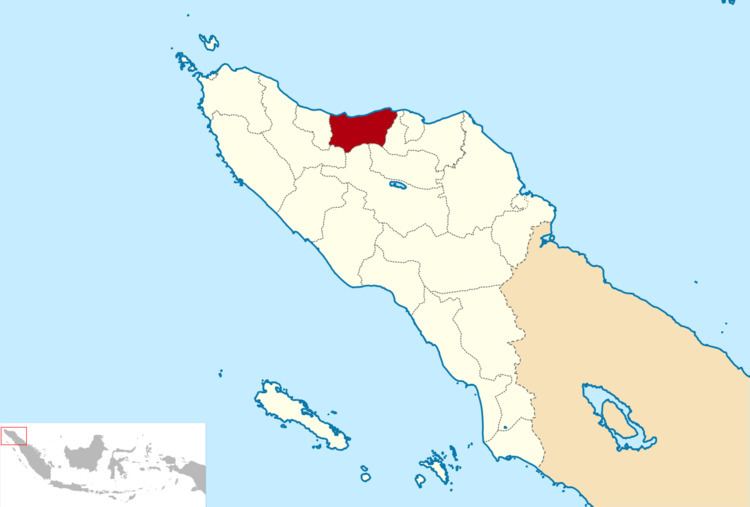
Map of Bireuen Regency, Aceh, Indonesia
On 26 December 2004, it was affected by the 2004 Indian Ocean earthquake.
Administrative divisions
The regency is divided administratively into seventeen districts (kecamatan):
- Gandapura
- Jangka
- Jeunib
- Jeumpa
- Juli
- Kota Juang
- Kuala
- Kuta Blang
- Makmur
- Pandrah
- Peudada
- Peusangan
- Peusangan Selatan
- Peusangan Siblah Krueng
- Peulimbang
- Samalanga
- Simpang Mamplam
References
Bireuën Regency Wikipedia(Text) CC BY-SA