
Primary inflows Basin countries Australia River source Pocacker River | Etymology Thomas William Birch Length 15,000 m Ocean/sea source Southern Ocean | |
 | ||
River sources Birchs RiverPocacker RiverSorell River Similar Gordon Power Station, Queenstown Oval - Tasmania, Mount Sedgwick, Crotty Dam, Mount Huxley | ||
Birchs inlet macquarie harbour tasmania
The Birchs Inlet, also spelt Birch's Inlet or Birches Inlet, is a narrow cove or coastal inlet on the south-western side of Macquarie Harbour on the west coast of Tasmania, Australia. The inlet is located within the Southwest National Park, part of the Tasmanian Wilderness World Heritage Area.
Contents
- Birchs inlet macquarie harbour tasmania
- Map of Birch Inlet Southwest TAS 7139 Australia
- Features and location
- Etymology
- References
Map of Birch Inlet, Southwest TAS 7139, Australia
Features and location
The inlet lies approximately 38 kilometres (24 mi) south of the town of Strahan and serves as the mouth of the Birchs, Pocacker and Sorell Rivers, three of several draining south-western Tasmania. About 15 kilometres (9.3 mi) in length, the mouth of the inlet lies near the head of Macquarie Harbour not far from the mouth of the Gordon River. It is only accessible by water transport. It has been at times an important access point for loggers working in the area for moving Huon Pine to Strahan.
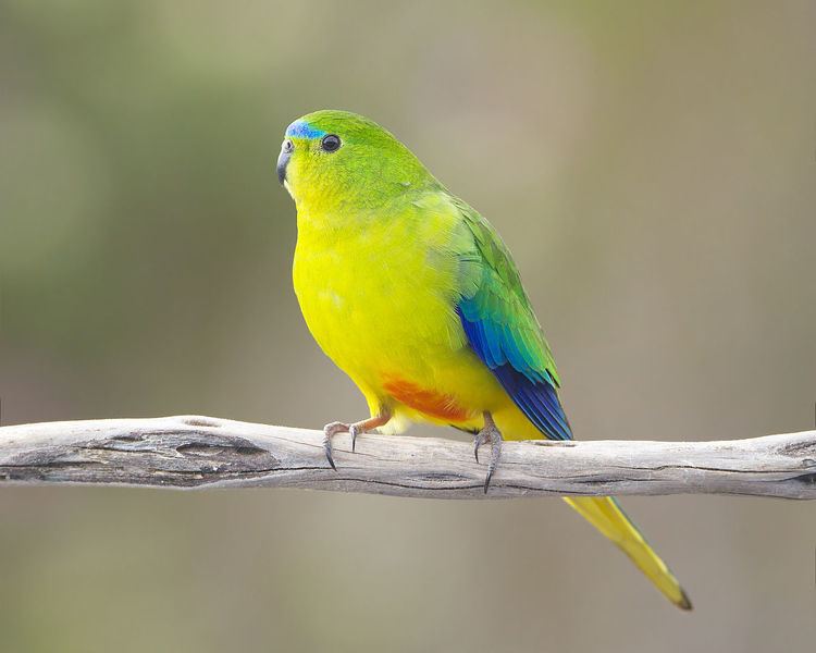
It lies at the northern end of the Melaleuca to Birchs Inlet Important Bird Area. It is one of only two (the other being at Melaleuca) study sites for orange-bellied parrots in their breeding range.
Etymology
It is named after Thomas William Birch (1774-1821), a surgeon, whaler, merchant and shipowner who settled in Tasmania in 1808.