Elevation 66 m Local time Thursday 2:08 AM | Time zone IST (UTC+5:30) Population 13,096 (2011) | |
 | ||
Weather 19°C, Wind W at 2 km/h, 63% Humidity | ||
Bilariaganj is a town and a nagar panchayat in Azamgarh district in the state of Uttar Pradesh, India.
Contents
- Map of Bilariyaganj Uttar Pradesh 276121
- Geography
- Demographics
- Road
- Importance
- Colleges
- degree college
- References
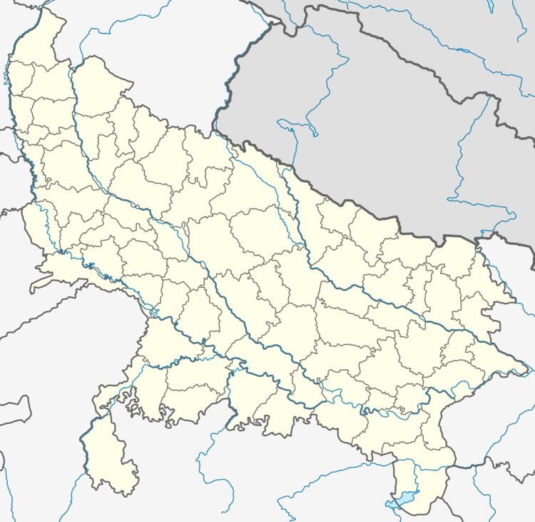
Map of Bilariyaganj, Uttar Pradesh 276121
Geography
Bilariaganj is located at 26.2°N 83.23°E / 26.2; 83.23. It has an average elevation of 66 metres (216 feet).
Demographics
As of 2001 India census, Bilariaganj had a population of 11,891. Males constitute 51% of the population and females 49%. Bilariaganj has an average literacy rate of 67%, higher than the national average of 59.5%; with male literacy of 73% and female literacy of 61%. 16% of the population is under 6 years of age.
Road
National Highway 233B (India) is go Siddharath Nagar, Rajesultanpur, Azamgarh, Bilaspur
Importance
Bilariaganj is famous in India and abroad for its Islamic institution named Jamiatul Falah. This institution consists of two separate sections each for boys and girls. There are more than 5000 students. The market of Bilariaganj has turnover of more than 50,00,000 during festivities like Eid-ul-fitar and Eid-ul-zuha as compared to any other towns.
Colleges
CBSE Schools
U.P Board Colleges
