
River sources Niger Max. width 640 km (400 mi) | Max. length 300 km (190 mi) Settlement Cotonou | |
 | ||
Ocean/sea sources Gulf of GuineaAtlantic Ocean | ||
The Bight of Benin or Bay of Benin is a bight in the Gulf of Guinea area on the western African coast.
Contents
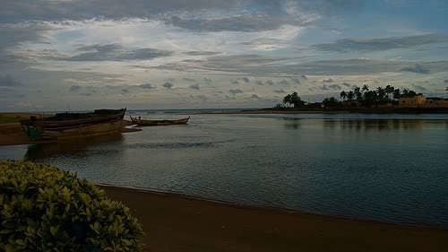
Map of Bight of Benin
Geography
It extends eastward for about 400 miles (640 km) from Cape St. Paul to the Nun outlet of the Niger River. To the east it is continued by the Bight of Bonny (formerly Bight of Biafra). The Republic of Benin and this bight were both named after the Benin Empire. On December 25, 2003, UTAGE Flight 141 crashed in the Bight.
Historical associations with the Atlantic slave trade led to the region becoming known as the Slave Coast. As in many other regions across Africa, powerful indigenous kingdoms along the Bight of Benin relied heavily on a long established slave trade that expanded greatly after the arrival of European powers and became a global trade with the colonization of the Americas.
History
On 1 February 1852 the British established the Bight of Benin British protectorate, under the authority of Consuls of the Bight of Benin: the republic of Benin and Bight of Benin were named after the Great Benin Empire extending eastward from cape st. Paul to the Nun outlet of River Niger.
On 6 August 1861 the Bight of Biafra protectorate (see there for their common further history) and Bight of Benin protectorate was joined as a united British protectorate, ultimately to be merged into Nigeria