
State Tasmania Population Unpopulated | Area 2.2 ha (5.4 acres) Region South West Archipelago Swainson Islands | |
 | ||
Similar Edgar Dam, Serpentine Dam, Gordon Power Station, Port Davey Track, Scotts Peak | ||
The Big Caroline Rock is an unpopulated island located close to the south-western coast of Tasmania, Australia. Situated near where the mouth of Port Davey meets the Southern Ocean, the 2.2-hectare (5.4-acre) island is part of the Swainson Islands Group, and comprises part of the Southwest National Park and the Tasmanian Wilderness World Heritage Site.
Contents
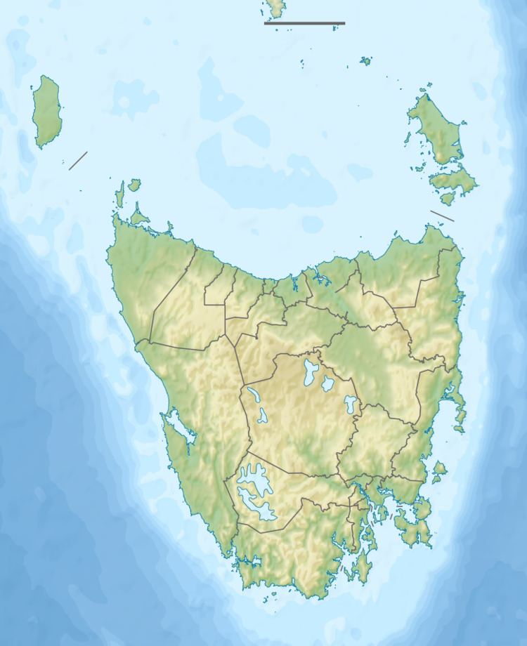
Map of Big Caroline Rock, Tasmania, Australia
Fauna
The island is part of the Port Davey Islands Important Bird Area, so identified by BirdLife International because of its importance for breeding seabirds. Recorded breeding seabird species are the short-tailed shearwater (15,000 pairs), fairy prion (1-2000 pairs) and silver gull. The Tasmanian tree skink is also present.
References
Big Caroline Rock Wikipedia(Text) CC BY-SA