District Ahmednagar Vehicle registration MH- | Time zone IST (UTC+5:30) Coastline 0 kilometres (0 mi) | |
 | ||
Bhoyare Gangarda is a typical village in Parner tehsil of Ahmednagar district, Maharashtra, India.
Contents
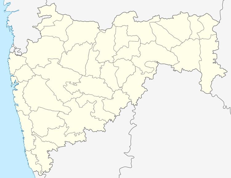
Map of Bhoyare Gangarda, Maharashtra 413703
The nearest railway station is Visapur (8 km).
In Bhoyare Gangarda there is Primary school from 1st Standard to 7th Standard and 8th standard to 10th standard High School named "Shree Datta Vidyalay Bhoyare Gangarda."
It is just 8 kilometres from Nagar-Pune Highway from Supe.
Geography
The village is surrounded by small mountains on all sides. There are small caves in surrounded mountains in east direction called "Gardi". Several wild animals are found in forest area: deer, wolves, etc. In the rainy season, one can find small waterfalls at "Gardi".
Culture
There is a big temple of the god Bhairavnath and Maruti. Every summer the festival of Bahiravnath is organized in marathi Month of "Vaishakh". From the festival of "Nag Panchami" here in village seven day Programme of Bhajan and Kirtan front of the temple Maruti. There is another big temple in "Vitthalwadi" of Hindu gods Panduranga and Rukhmini.
The 60-70% people are vegetarian and follows the rules of "Varkari sampraday". People gather in "Vitthal-Rukmini" temple at every evening for Haripath (Prayer of lord Vitthal).
