
District Balodabazar-Bhatapara Vehicle registration CG Local time Monday 2:15 PM | Time zone IST (UTC+5:30) Elevation 261 m | |
 | ||
Weather 32°C, Wind NW at 6 km/h, 22% Humidity Neighborhoods Bengali Colony, Sanjay Ward, Railway Colony, Nehru Ward, Hathinipara, Biptara, VIP Colony | ||
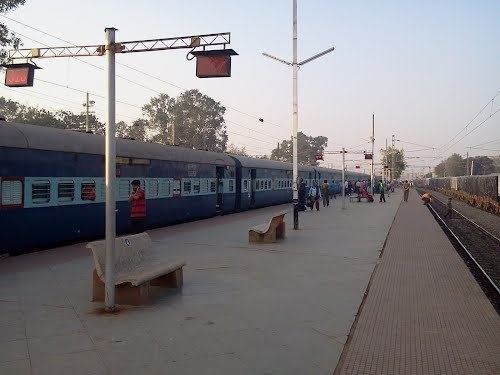
Chhattisgarh sampark kranti express arrival at pendra road bhatapara stations
Bhatapara is a city and a nagar palika in Baloda Bazar - Bhatapara district in the state of Chhattisgarh, India.
Contents
- Chhattisgarh sampark kranti express arrival at pendra road bhatapara stations
- Map of Bhatapara Chhattisgarh 493118
- Skipping bhatapara onboard 12261 cstm hwh duronto express
- Geography
- Demographics
- Transport
- References
Map of Bhatapara, Chhattisgarh 493118
Skipping bhatapara onboard 12261 cstm hwh duronto express
Geography
Bhatapara is located at 21.73°N 81.93°E / 21.73; 81.93. It has an average elevation of 261 metres (856 feet).
Demographics
As of 2011 Indian census, Bhatapara had a population of 96784. Males constitute 51% of the population and females 49%. Bhatapara has an average literacy rate of 65%, higher than the national average of 59.5%; with male literacy of 74% and female literacy of 55%. 15% of the population is under 6 years of age.
Transport
Bhatapara is a station on the Howrah-Nagpur-Mumbai line.
References
Bhatapara Wikipedia(Text) CC BY-SA