
Website Official Map of Bhanga | Time zone BST (UTC+6) Area 216.3 km² | |
 | ||
Bhanga (Bengali: ভাঙ্গা) is an Upazila of Faridpur District in the Division of Dhaka, Bangladesh.
Contents
Map of Bhanga Upazila, Bangladesh
Geography
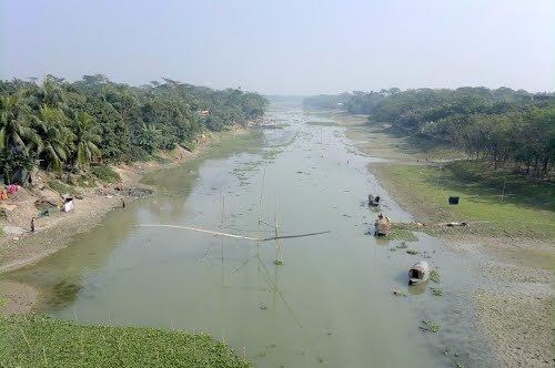
Bhanga is located at 23.3833°N 89.9833°E / 23.3833; 89.9833 . It has 41462 households and total area 216.34 km².
Demographics
As of the 1991 Bangladesh census, Bhanga has a population of 214702. Males constitute 50.23% of the population, and females 49.77%. This Upazila's eighteen up population is 105762. Bhanga has an average literacy rate of 25.7% (7+ years), and the national average of 32.4% literate. code of bhanga: 01.postal code:7830 02.zip code: ..... 03.Thana code:....
Administration
Bhanga has 12 Unions/Wards, 137 Mauzas/Mahallas, and 227 villages. Total unions of Bhanga:
- Kalamredha
- Azimnagor
- Gharua
- Chandra
- Kaulibera
- Nasirabad
- Hamirdi
- Manikdha
- Nurullahgong
- Chumurdi
- Algi
- Tujerpur
In Ward number 1 there are 4(four)village: Hoglakandi, Kharakandi, Baishakhali and Charkanda.
Education
According to Banglapedia, Bhanga Pilot High School, founded in 1889, Sadardi High School (1917), and Kalamredha Gobindra High School (1927), are notable secondary schools.