
Coastline 0 kilometres (0 mi) Elevation 159 m | Time zone IST (UTC+5:30) Nearest city Gaya, Kolkatta | |
 | ||
Neighborhoods Noori Nagar, Karim Ganj, Karma Manjhi Tola, Ansaar Nagar, Gewal Karma, Azeezabad, Mannan Bigha | ||
Bhadeya is a country side locality in Gaya district of Bihar, India.
Contents
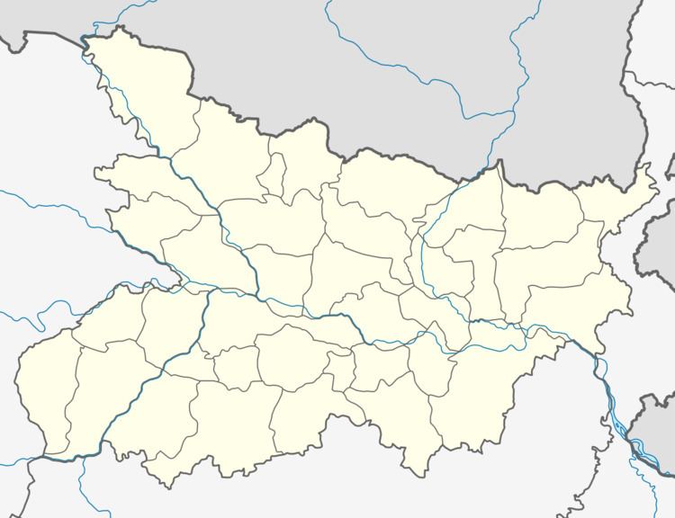
Map of Bhadeya, Bihar 824220
Bhadeya is located in Barachati, Gaya, in the state of Bihar in northern India.
Bhadeya includes Bhadeya, Karma and its localities of Azizabad, Karimgunj, Ansar Nagar, Zahoorabad. It also comprises Sondiha, Paili, Chhaura Bandh, Bigha, Imamgunj, Gaiwal Karma, Hasanpur, Mananbigha.
Location
Bhadeya is at 24.78 north and 84.98 east. It is close to the Gulsakari river. National Highway 2 and Oldham Road (the old road from Gaya to Chota Nagpur) pass through Bhadeya.
Inhabitants
Pathans are the ethic majority. Beyond farming and local transport services people work in the states of the Persian Gulf, providing the area with an important source of income.
Climate
Bhadeya has a tropical climate. Summers are generally hot (April–June), while winters are cool (October–February). It experiences southwestern monsoon rains from July to September.
Education
Bhadeya has schools and tuition centers serving rural south Bihar including:
Religion
The majority of population is Sunni Muslim. Bhadeya has five mosques: Bhadeya Jama Masjid, Bigha Par ki Masjid, Masjid Ali Azizabad, Masjid aziz and one at Kata Par. one more mosques are under construction in Shamshuddin Nagar.