
FIPS code 19-06490 Elevation 257 m Population 62 (2013) Area code 515 | Time zone Central (CST) (UTC-6) GNIS feature ID 0454592 Zip code 50033 Local time Sunday 9:31 PM | |
 | ||
Weather 14°C, Wind S at 26 km/h, 80% Humidity Area 119 ha (117 ha Land / 3 ha Water) | ||
Bevington is a city in Madison and Warren Counties in the U.S. state of Iowa. The population was 63 at the 2010 census. It is part of the Des Moines–West Des Moines Metropolitan Statistical Area.
Contents
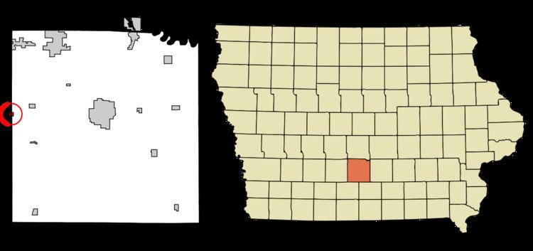
Map of Bevington, IA, USA
History
Bevington was laid out in 1872. It was named for C. D. Bevington, a prominent local businessman.
Geography
Bevington is located at 41°21′38″N 93°47′27″W (41.360495, -93.790952), along the Middle River. The majority of the city is located in Madison County.
According to the United States Census Bureau, the city has a total area of 0.46 square miles (1.19 km2), of which, 0.45 square miles (1.17 km2) is land and 0.01 square miles (0.03 km2) is water.
Bevington is located adjacent to Interstate 35 on state highway 92.
2010 census
As of the census of 2010, there were 63 people, 28 households, and 18 families residing in the city. The population density was 140.0 inhabitants per square mile (54.1/km2). There were 28 housing units at an average density of 62.2 per square mile (24.0/km2). The racial makeup of the city was 98.4% White and 1.6% Asian. Hispanic or Latino of any race were 1.6% of the population.
There were 28 households of which 28.6% had children under the age of 18 living with them, 42.9% were married couples living together, 3.6% had a female householder with no husband present, 17.9% had a male householder with no wife present, and 35.7% were non-families. 28.6% of all households were made up of individuals and 10.7% had someone living alone who was 65 years of age or older. The average household size was 2.25 and the average family size was 2.78.
The median age in the city was 39.5 years. 25.4% of residents were under the age of 18; 3.2% were between the ages of 18 and 24; 25.4% were from 25 to 44; 36.6% were from 45 to 64; and 9.5% were 65 years of age or older. The gender makeup of the city was 58.7% male and 41.3% female.
2000 census
As of the census of 2000, there were 58 people, 24 households, and 16 families residing in the city. The population density was 215.4 people per square mile (82.9/km²). There were 25 housing units at an average density of 92.9 per square mile (35.8/km²). The racial makeup of the city was 96.55% White, and 3.45% from two or more races.
There were 24 households out of which 33.3% had children under the age of 18 living with them, 62.5% were married couples living together, 4.2% had a female householder with no husband present, and 33.3% were non-families. 20.8% of all households were made up of individuals and 4.2% had someone living alone who was 65 years of age or older. The average household size was 2.42 and the average family size was 2.88.
In the city, the population was spread out with 20.7% under the age of 18, 12.1% from 18 to 24, 34.5% from 25 to 44, 22.4% from 45 to 64, and 10.3% who were 65 years of age or older. The median age was 37 years. For every 100 females there were 132.0 males. For every 100 females age 18 and over, there were 109.1 males.
The median income for a household in the city was $31,875, and the median income for a family was $35,000. Males had a median income of $28,125 versus $16,250 for females. The per capita income for the city was $16,592. There were no families and 3.9% of the population living below the poverty line, including no under eighteens and none of those over 64.