
Demonym(s) Beuninger Postcode 6550–6551, 6640–6645 Area 47.09 km² Local time Monday 3:34 AM | Elevation 9 m (30 ft) Time zone CET (UTC+1) Area code 024, 0487 | |
 | ||
Weather 4°C, Wind SE at 8 km/h, 93% Humidity | ||
Beuningen ( pronunciation ) is a municipality and a town in the eastern Netherlands close to the city of Nijmegen. The municipality consists of the towns Beuningen, Ewijk, Winssen and Weurt. 1 Mile to the north lies the river Waal
Contents
Map of Beuningen, Netherlands
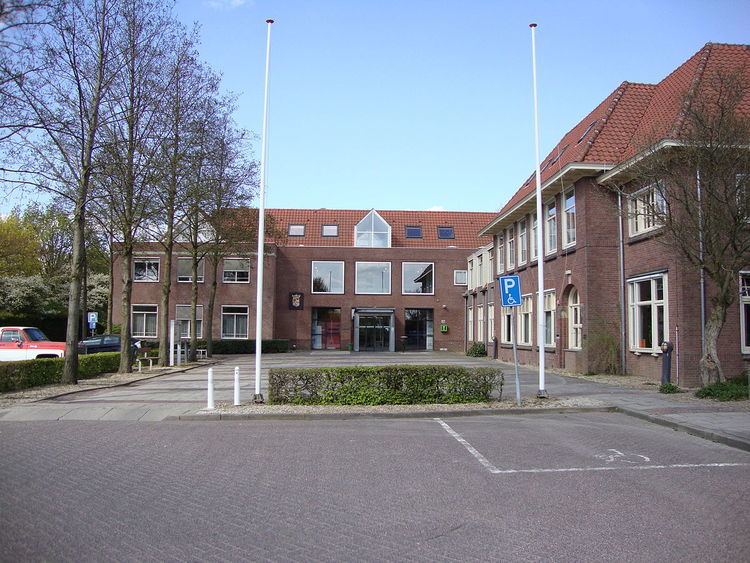
Beuningen lies in the armpit of the A73 (Nijmegen-Venlo, on the south side) and A50 (Zwolle-Eindhoven, in the west) motorway interchange. In the north it borders the river Waal and Nijmegen in the east. Beuningen had a population of 25,267 in 2014. There is a restored windmill in the town, De Haag.
Population centres
Dutch Topographic map of the municipality of Beuningen, June 2015.
References
Beuningen Wikipedia(Text) CC BY-SA