
Country United States Time zone Eastern (EST) (UTC-5) Elevation 198 m Population 688 (2010) | Settled 1875 FIPS code 21-06220 Zip code 41605 Local time Sunday 7:12 PM | |
 | ||
Weather 17°C, Wind S at 8 km/h, 21% Humidity Area 4.766 km² (4.688 km² Land / 8 ha Water) | ||
How to say or pronounce usa cities betsy layne kentucky
Betsy Layne is a census-designated place (CDP) and coal town in Floyd County, Kentucky, United States. It was established in 1875 along the Levisa Fork. The post office opened on May 1, 1908, with Clayton L. Hitchins as postmaster. Its ZIP code is 41605. The 2010 census reported the population to be 688. Stage actress Bette Henritze (born 1924) is a native of Betsy Layne.
Contents
Map of Betsy Layne, KY, USA
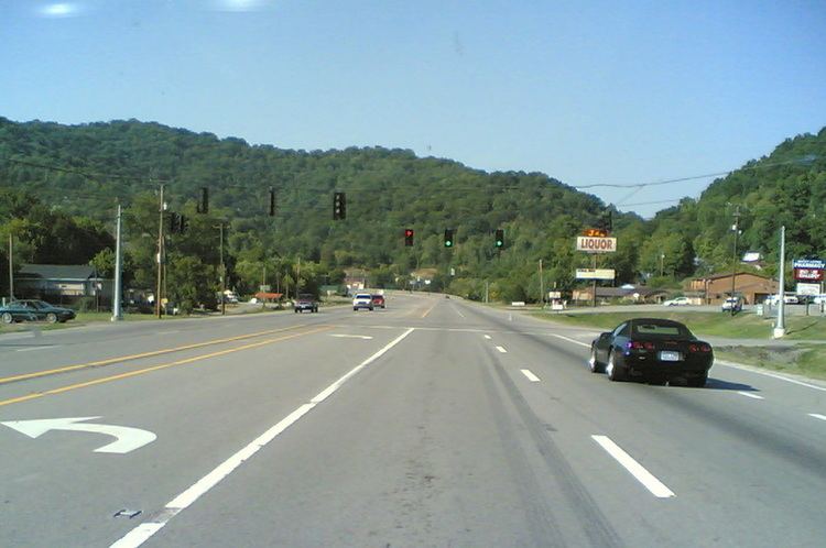
Betsy Layne is located along the eastern border of Floyd County at 37°33′05″N 82°38′01″W (37.5514880, -82.6334884) and at an elevation of 650 ft (198 m). It is bordered to the east by Pike County. U.S. Route 23 passes through the community, leading northwest 13 miles (21 km) to Prestonsburg and southeast 12 miles (19 km) to Pikeville.
References
Betsy Layne, Kentucky Wikipedia(Text) CC BY-SA