
Population 17,758 (2013) | Unemployment rate 16.6% (Apr 2015) | |
 | ||
Points of interest Revelation Mountains, Mount Hesperus, Ahklun Mountains, Pegati Lake, Teocalli Mountains, Ikookstakswak Cove Rivers Kuskokwim River, Holitna River, Donlin Creek | ||
Bethel Census Area is a census area in the U.S. state of Alaska. As of the 2010 census, the population is 17,013. It is part of the unorganized borough and therefore has no borough seat. Its largest community is the city of Bethel, which is also the largest city in the unorganized borough.
Contents
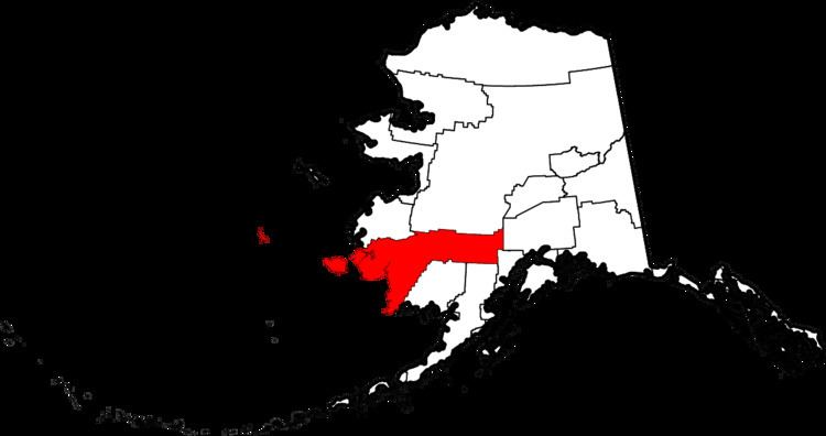
- Map of Bethel AK USA
- Geography
- Adjacent boroughs and census areas
- National protected areas
- Demographics
- Unincorporated communities
- References
Map of Bethel, AK, USA
Geography
According to the U.S. Census Bureau, the census area has an area of 45,504 square miles (117,850 km2), of which 40,570 square miles (105,100 km2) is land and 4,934 square miles (12,780 km2) (10.8%) is water. Its territory includes the large Nunivak Island in the Bering Sea.
Adjacent boroughs and census areas
National protected areas
Demographics
As of the census of 2000, there were 16,006 people, 4,226 households, and 3,173 families residing in the census area. The population density was 0 people per square mile (0/km²). There were 5,188 housing units at an average density of 0/sq mi (0/km²). The racial makeup of the census area was 12.53% White, 0.38% Black or African American, 81.93% Native American, 1.05% Asian, 0.06% Pacific Islander, 0.19% from other races, and 3.85% from two or more races. 0.87% of the population were Hispanic or Latino of any race.
There were 4,226 households out of which 51.00% had children under the age of 18 living with them, 50.20% were married couples living together, 15.20% had a female householder with no husband present, and 24.90% were non-families. 19.90% of all households were made up of individuals and 2.80% had someone living alone who was 65 years of age or older. The average household size was 3.73 and the average family size was 4.41.
In the census area the population was spread out with 39.80% under the age of 18, 9.70% from 18 to 24, 28.90% from 25 to 44, 16.40% from 45 to 64, and 5.20% who were 65 years of age or older. The median age was 25 years. For every 100 females there were 113.20 males. For every 100 females age 18 and over, there were 112.80 males.
Bethel Census Area is one of only 38 county-level census divisions of the United States where the most spoken language is not English and one of only 3 where it is neither English nor Spanish. 63.14% of the population speak a Yupik language at home, followed by English at 34.71%.