
Population 5,010 (2013) | Unemployment rate 10.4% (Apr 2015) | |
 | ||
Rivers Holitna River, Lower Klutuk Creek, Nisua River | ||
National register of historic places listings in dillingham census area alaska top 5 facts
Dillingham Census Area is a census area located in the state of Alaska, United States. As of the 2010 census, the population was 4,847. It is part of the unorganized borough and therefore has no borough seat. Its largest community by far is the city of Dillingham, on a small arm of Bristol Bay on the Bering Sea.
Contents
- National register of historic places listings in dillingham census area alaska top 5 facts
- Map of Dillingham AK USA
- Geography
- Adjacent boroughs and census areas
- National protected areas
- Demographics
- Communities
- References
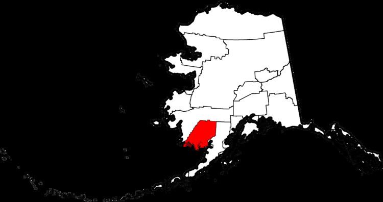
Map of Dillingham, AK, USA
Geography
According to the U.S. Census Bureau, the census area has a total area of 20,915 square miles (54,170 km2), of which 18,569 square miles (48,090 km2) is land and 2,346 square miles (6,080 km2) (11.2%) is water.
Adjacent boroughs and census areas
National protected areas
Demographics
As of the census of 2000, there were 4,922 people, 1,529 households, and 1,105 families residing in the census area. The population density was 0 people per square mile (0/km²). There were 2,332 housing units at an average density of 0/sq mi (0/km²). The racial makeup of the census area was 21.64% White, 0.37% Black or African American, 70.13% Native American, 0.61% Asian, 0.02% Pacific Islander, 0.55% from other races, and 6.68% from two or more races. 2.26% of the population were Hispanic or Latino of any race. 34.6% reported speaking Yupik or Eskimo at home [1].
There were 1,529 households out of which 45.30% had children under the age of 18 living with them, 51.10% were married couples living together, 15.00% had a female householder with no husband present, and 27.70% were non-families. 23.30% of all households were made up of individuals and 3.60% had someone living alone who was 65 years of age or older. The average household size was 3.20 and the average family size was 3.84.
In the census area the population was spread out with 38.10% under the age of 18, 7.70% from 18 to 24, 28.90% from 25 to 44, 19.50% from 45 to 64, and 5.70% who were 65 years of age or older. The median age was 29 years. For every 100 females there were 109.00 males. For every 100 females age 18 and over, there were 108.80 males. The per capita income is estimated at 23,500 U.S. dollars per year.