
Founded by Juan Salamanca Area 123 km² Local time Sunday 9:24 PM | Founded 14 October 1556 Elevation 2,575 m Population 2,069 (2015) | |
 | ||
Time zone Colombia Standard Time (UTC-5) Weather 16°C, Wind NE at 5 km/h, 89% Humidity | ||
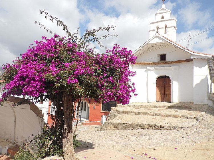
Betéitiva ([beˈteitiβa]) a town and municipality in the Valderrama Province, part of the Colombian department of Boyacá. The urban centre of Betétiva is situated at 250 kilometres (160 mi) from the capital Bogotá, 110 kilometres (68 mi) from the department capital Tunja and 45 kilometres (28 mi) from Sogamoso. The municipality, located on the Altiplano Cundiboyacense, borders in the north Belén, in the northeast Paz de Río, in the east Tasco, in the southeast Corrales and in the west with Busbanzá and Cerinza.
Contents
Map of Beteitiva, Boyac%C3%A1, Colombia
Etymology
The name Betéitiva is derived from the Chibcha name of the cacique Betacín of the village and means "chief of the anchovy". According to Muisca myths, Betacín fell in love with the daughter of the iraca of Sugamuxi and after her dismissal he retreated in the area now known as Betéitiva.
History
The area of Betéitiva before the Spanish conquest was inhabited by the Muisca, organized in their loose Muisca Confederation. Different rulers were reigning the central highlands of the Colombian Andes and Betéitiva was ruled by cacique Betacín.
Modern Betéitiva was founded on October 14, 1556 by Juan Salamanca.
Economy
Potatoes and dairy farming are the most important economical activities of the municipality.