
Country United States ZIP codes 84714 Elevation 1,571 m Local time Saturday 6:20 PM | Time zone Mountain (MST) (UTC-7) GNIS feature ID 1437500 Zip code 84714 Area code 435 | |
 | ||
Weather 12°C, Wind S at 35 km/h, 26% Humidity | ||
80 acres of ranch land beryl utah on highway 56
Beryl is an unincorporated community in Iron County, Utah, United States. It has one school, Escalante Valley Elementary. Originally established as a Union Pacific Railroad siding, Beryl was named in 1901 after the semi-precious stone beryl found in the area. The 2012 Beryl (zip 84714), UT, population is 944. There are 2 people per square mile (population density). The median age is 31.6. The US median is 37.3. 57.63% of people in Beryl (zip 84714), UT, are married. 9.86% are divorced. The average household size is 3.13 people. 40.54% of people are married, with children. 6.31% have children, but are single.
Contents
- 80 acres of ranch land beryl utah on highway 56
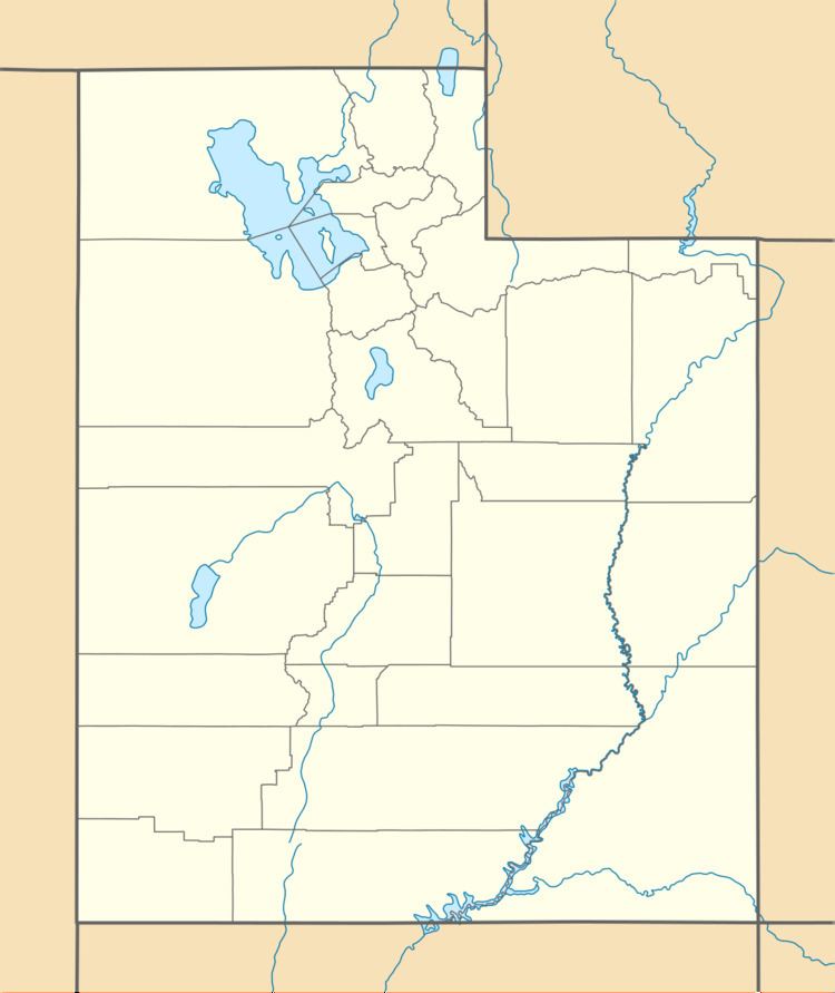
- Map of Beryl UT 84714 USA
- Beryl sand drags beryl utah
- Climate
- References
Map of Beryl, UT 84714, USA
Beryl sand drags beryl utah
Climate
According to the Köppen Climate Classification system, Beryl has a semi-arid climate, abbreviated "BSk" on climate maps.
References
Beryl, Utah Wikipedia(Text) CC BY-SA