
Elevation 16 m (52 ft) Area code 0544, 0545, 0573 Local time Saturday 7:37 PM | Established 1 January 2005 Time zone CET (UTC+1) Area 260.4 km² | |
 | ||
Postcode 7150–7165, 7260–7261, 7270–7275 Weather 10°C, Wind S at 5 km/h, 81% Humidity Points of interest Kristalmuseum, Brandweer‑ en Stormram, Museum De Scheper, Boerderij‑Museum De Lebbenbrugge | ||
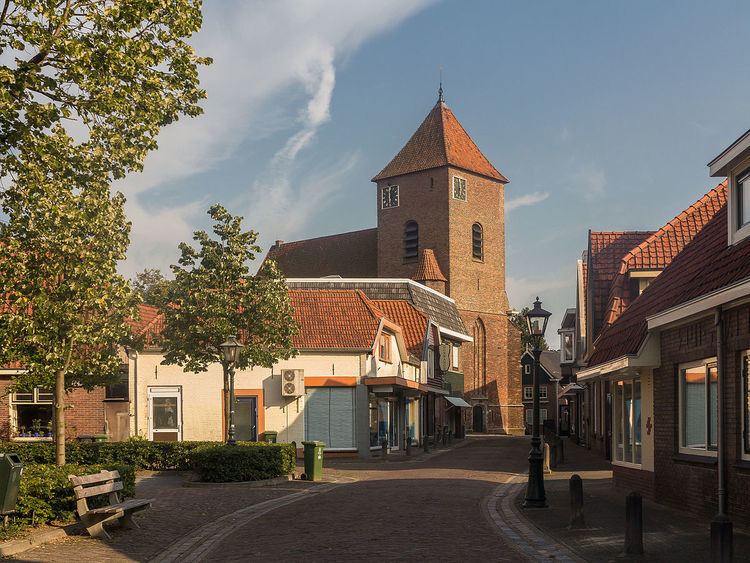
Berkelland ( pronunciation ) is a municipality in the Netherlands province of Gelderland. It was created on 1 January 2005 from the merger of the former municipalities of Borculo, Eibergen, Neede, and Ruurlo. The new municipality was named after the Berkel, a small river.
Contents
Map of Berkelland, Netherlands
Population centres
Dutch Topographic map of the municipality of Berkelland, June 2015.
Government
The Eibergen community houses the interception station of the Nationale SIGINT Organisatie.
References
Berkelland Wikipedia(Text) CC BY-SA