
Time zone CET/CEST (UTC+1/+2) Area 25.87 km² Population 6,143 (31 Dec 2008) Administrative region Stuttgart | District Rems-Murr-Kreis Postal codes 73663 Local time Saturday 6:18 PM Postal code 73663 | |
 | ||
Weather 14°C, Wind SW at 19 km/h, 46% Humidity | ||
Berglen is a municipality in the district of Rems-Murr in Baden-Württemberg in Germany. The administrative center is Oppelsbohm.
Contents
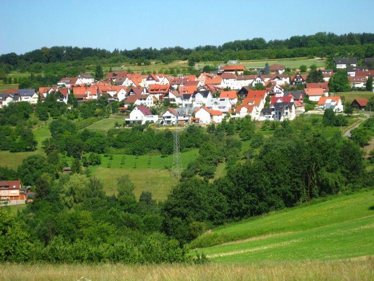
- Map of Berglen Germany
- Geographical location
- Constituent communities
- Space division
- Religions
- Mayor
- Partnerships
- Education
- Regular events
- Freeman
- Sons and daughters of the town
- Other people
- References
Map of Berglen, Germany
Geographical location
The community Berglen is located about 25 kilometers east of Stuttgart in 300 to 450 meters altitude in the Keuper hill landscape Berglen .
Constituent communities
The municipality Berglen consists of the following nine districts: Bretzacker, Hößlinswart, Barrenhardt, Öschelbronn, Oppelsbohm, Reichenbach near Winnenden, Rettersburg, Steinach, Vorderweißbuch.
Space division
Total 2587 ha
.
Religions
Since the Reformation the area Berglen is predominantly Lutheran marked. In Oppelsbohm and Hößlinswart are Protestant churches, for some districts is the church in Remshalden Buoch responsible.
Mayor
Partnerships
Berglen has since October 3, 1993, a partnership with Krögis, today part of Käbschütztal in Saxony.
Education
With the neighborhood school In the Berglen there is a primary and high school with Werkrealschule. Moreover, Steinach and Vorderweißbuch have their own primary schools. Schools can be visited in the neighboring cities. For the youngest members of the community there are six municipal nurserys, and also a private forest kindergarten.