
Established 1586 Time zone EET (UTC+2) Area 2.73 km² Population 1,372 (2009) | Elevation 214 m (702 ft) Postal code 30053 Local time Friday 4:45 PM | |
 | ||
Weather 6°C, Wind W at 16 km/h, 73% Humidity | ||
Berezdiv (Ukrainian: Берездів; Polish: Berezdów) is a village in the Slavutskyi Raion (district) of the Khmelnytskyi Oblast (province) in western Ukraine. Population of Berezdiv is about 1,250 inhabitants. In Berezdiv is located school, Eastern Orthodox Church, Shepetivka Museum branch and three cemeteries: Eastern Orthodox, Catholic and Jewish.
Contents
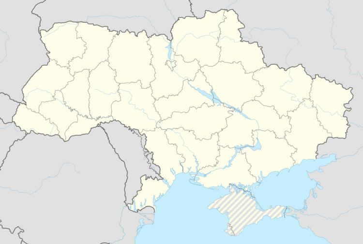
Map of Berezdiv, Khmelnytska, Ukraine
Geography
It is located by the rivers Korchik, Siechanka. 32 km North-East from Slavuta. 18 km South from Korets.
Berezdiv, at 50°28′N, 28°06′E, is situated at altitude of 210m.
History
Until the second Partition of the Polish-Lithuanian Commonwealth Berezdiv belonged to the Crown of Polish Kingdom. Berezdiv goods belonged to Ostrozky, Chodkiewicz, Lubomirski and Jablonowski duke families. In 1775 Berezdiv was founded by Braclav voivode Jan Jablonowski, wooden Blessed Virgin Mary Church. In 1992 it was dismantled because of the state of emergency.
In 1831 Berezdiv had been confiscated by Russian Government.
At the end of the 19th century it was small town with a population of 590 people (306 of which were Jews).
In 1954 Berezdiv had lost town privileges, and became a village.