
Number of airports 1 | Local time Friday 8:30 AM | |
 | ||
Weather -21°C, Wind S at 11 km/h, 71% Humidity | ||
Canoeing whiteman falls berens river manitoba canada
Berens River is located in Manitoba, Canada, along the eastern shore of Lake Winnipeg. This community is near the mouth of the Berens River, which flows west from the Ontario headwaters.
Contents
- Canoeing whiteman falls berens river manitoba canada
- Map of Berens River MB Canada
- Demographics
- Climate
- References
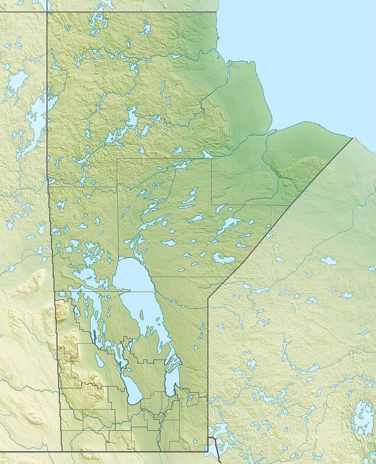
Map of Berens River, MB, Canada
The community is accessible only by winter road, boat, or airplane. Recently a project has been announced to construct a dual-lane highway from Bloodvein, connecting Berens River to the continental road system.
The First Nation and fur trade community there was officially started in the 19th century, but the spot was a traditional hunting and fishing area for thousands of years. The two communities create a population centre also called Berens River. Both are served by the Berens River Airport.
Demographics
In the 2011 Census, the Berens River designated place had a population of 7002111000000000000♠111 living in 7001280000000000000♠28 of its 7001310000000000000♠31 total private dwellings. According to the 2011 Canada Census, the bordering Berens River 13 reserve of the Berens River First Nation had a population of 1,028.
Climate
Berens River experiences a humid continental climate (Dfb). The highest temperature ever recorded in Berens River was 40.0 °C (104 °F) on 11 July 1936. The coldest temperature ever recorded was −47.2 °C (−53 °F) on 28 December 1933.