Time zone CET/CEST (UTC+1/+2) Area 3.19 km² Postal code 55494 Dialling code 06766 | Municipal assoc. Rheinböllen Postal codes 55494 Local time Friday 1:53 PM Population 217 (31 Dec 2008) | |
 | ||
Weather 9°C, Wind SE at 16 km/h, 50% Humidity | ||
Benzweiler is an Ortsgemeinde – a municipality belonging to a Verbandsgemeinde, a kind of collective municipality – in the Rhein-Hunsrück-Kreis (district) in Rhineland-Palatinate, Germany. It belongs to the Verbandsgemeinde of Rheinböllen, whose seat is in the like-named town. Benzweiler is a tourism municipality (Fremdenverkehrsgemeinde).
Contents
- Map of 55494 Benzweiler Germany
- Location
- History
- Population development
- Municipal council
- Mayor
- Buildings
- References
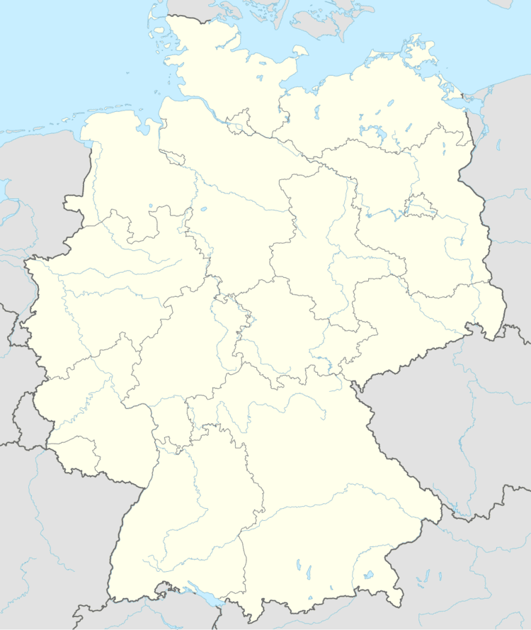
Map of 55494 Benzweiler, Germany
Location
The municipality lies in the Hunsrück.
History
Six barrows northeast of the village make it plain that Celts settled here in antiquity. Beginning in 1794, Benzweiler lay under French rule. In 1815 it was assigned to the Kingdom of Prussia at the Congress of Vienna. Since 1946, it has been part of the then newly founded state of Rhineland-Palatinate.
Population development
These are population figures for Benzweiler (for 31 December each time):
Municipal council
The council is made up of 6 council members, who were elected at the municipal election held on 7 June 2009, and the honorary mayor as chairman.
Mayor
Benzweiler’s mayor is Rolf Augustin.
Buildings
The following are listed buildings or sites in Rhineland-Palatinate’s Directory of Cultural Monuments:
