
Country United States County Kiowa Local time Thursday 12:55 PM | State Kansas Time zone Central (CST) (UTC-6) | |
 | ||
Weather 14°C, Wind W at 18 km/h, 13% Humidity | ||
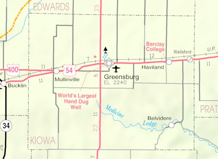
Belvidere is an unincorporated community located along the Medicine Lodge River in Kiowa County, Kansas, United States.
Contents
Map of Belvidere, KS 67028, USA
History
Belvidere was a shipping point on the Atchison, Topeka and Santa Fe Railway.
A post office named Glick operated from 1883 until 1890. The Glick post office was renamed Belvidere on April 26, 1890, remained in operation until it was discontinued on November 23, 1996.
Nearby are the Roth Petroglyph Site and the Star Petroglyph Site. Both are on the National Register of Historic Places.
In the mid-2000s, Belvidere become the home of a NOAA Weather Radio transmitter, WNG534, operated by the National Weather Service Forecast Office in nearby Dodge City.
References
Belvidere, Kansas Wikipedia(Text) CC BY-SA