
Established 1933 Area 2,846 km² | Visitation 2064 | |
 | ||
Website www.dnr.state.mn.us/state_forests/sft00005/index.html EPA Classification Northern Lakes and Forests WWF classification Western Great Lakes forests | ||
Grouse hunting beltrami island state forest
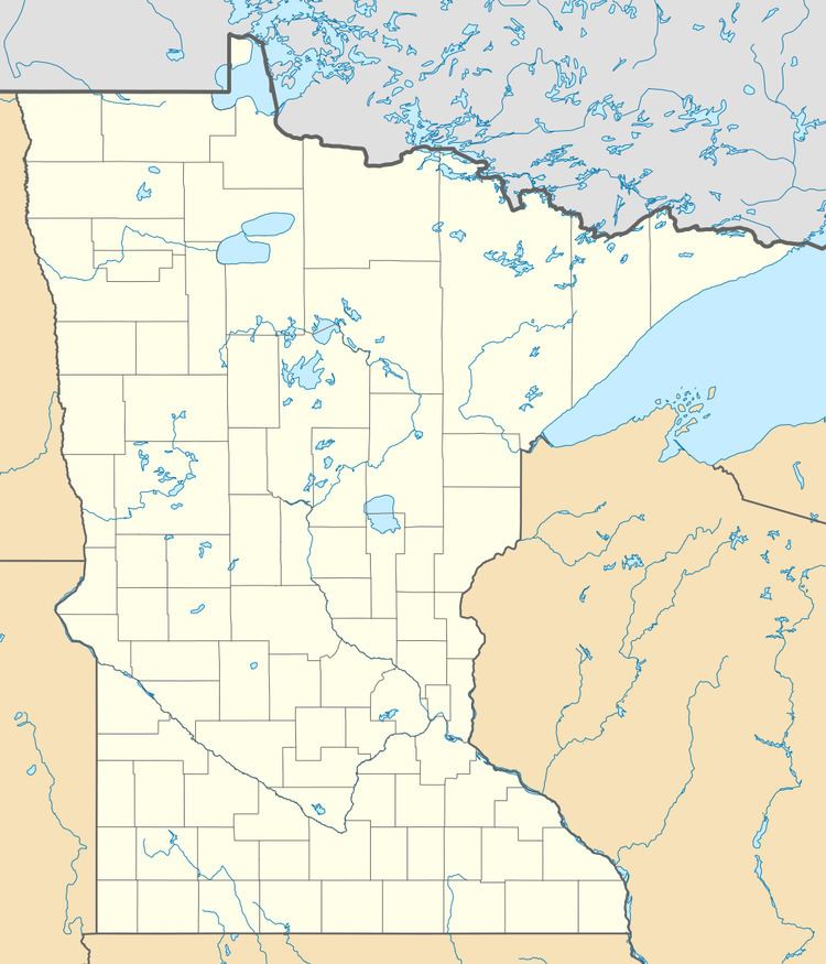
The Beltrami Island State Forest is a state forest located in Lake of the Woods, Roseau, and Beltrami counties, Minnesota. Named after Italian explorer Giacomo Beltrami, it is the second-largest state forest in the Minnesota system after Pine Island State Forest. The largest wildlife management area in the state at 321,149 acres (129,964 ha), the Red Lake Wildlife Management Area, is located within the forest. The majority of the forest is managed by the Minnesota Department of Natural Resources, although a significant portion are tribal lands belonging to the neighboring Red Lake Band of Ojibwe.
Contents
French explorers came to the area around 1730 in their search for a route to the Pacific Ocean, retaining control of the area via the fur trade until after 1760, when the British Hudson's Bay Company gained control of the area. The Treaty of 1818 gave the Americans technical control over the area, although the Ojibwe retained control over the land until ceding all their holdings in the Red River Valley as a result of the Treaty of Old Crossing in 1863.
The majority of land in the forest is coniferous swamp dominated by species such as black spruce, tamarack, and northern white cedar, although red pine, jack pine, and aspen exist in upland areas. Much of the pine that characterizes the upland acreage were planted by the federal Civilian Conservation Corps in the 1930s, based out of Norris Camp now located in the Red Lake WMA portion of the forest. Within the perimeters of the forest are the headwaters of the Roseau River, Warroad River, Rapid River, and Moose River. All rivers ultimately drain northward into Hudson Bay due to the forests location north of the Laurentian Divide.
Outdoor recreation activities include hiking and mountain biking on provided trails, as well as backcountry camping. Trails include 25 miles (40 km) of hiking, 27 miles (43 km) of horseback riding, 238 miles (383 km) available for Class I and II all-terrain vehicle use as well as dirt biking, and 138 miles (222 km) for snowmobiling. Nearby Zippel Bay State Park and adjacent Hayes Lake State Park have facilities suitable for camping.