
District Paschim Medinipur Time zone IST (UTC+5:30) | ||
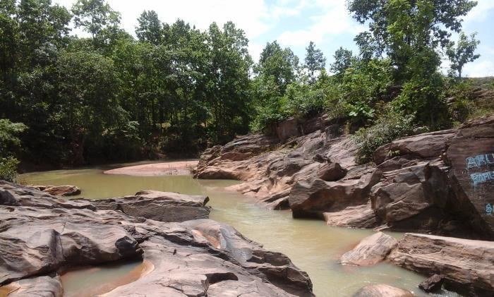 | ||
Exploring belpahari through my eyes
Belpahari is a tribal village, with a police station, in the Binpur II block in the Jhargram subdivision of the Paschim Medinipur district.
Contents
- Exploring belpahari through my eyes
- Map of Belpahari West Bengal 721501
- Demographics
- CD Block HQ
- Police station
- Transport
- References
Map of Belpahari, West Bengal 721501
It has been in frontline frequently for the killings of Communist Party of India (Marxist) leaders and supporters repeatedly by the Communist Party of India (Maoist) guerrillas.
Demographics
As per 2011 Census of India Belpahari had a total population of 1,863 of which 908 (49%) were males and 955 (51%) were females. Population below 6 years was 224. The total number of literates in Belpahari was 1,245 (76 % of the population over 6 years).
CD Block HQ
The headquarters of Binpur II CD Block are located at Belpahari.
Police station
Belpahari police station has jurisdiction over a part of Binpur II CD Block.
Transport
State Highway 5 (West Bengal) running from Rupnarayanpur (in Bardhaman district) to Junput (in Purba Medinipur district) passes through Belpahari.