
Country United States Time zone CST (UTC-6) Area 94.09 km² Local time Thursday 11:10 AM | Established November 6, 1855 Elevation 198 m Population 2,610 (2010) | |
 | ||
ZIP codes 60953, 60966, 60970, 60974 Weather 1°C, Wind W at 19 km/h, 70% Humidity | ||
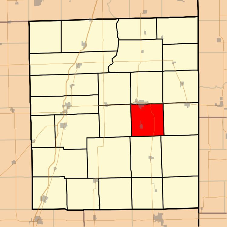
Belmont Township is one of twenty-six townships in Iroquois County, Illinois, USA. As of the 2010 census, its population was 2,610 and it contained 1,188 housing units.
Contents
- Map of Belmont Township IL USA
- Geography
- Cities towns villages
- Unincorporated towns
- Cemeteries
- Major highways
- Airports and landing strips
- Landmarks
- School districts
- Political districts
- References
Map of Belmont Township, IL, USA
Geography
According to the 2010 census, the township has a total area of 36.33 square miles (94.1 km2), all land.
Cities, towns, villages
Unincorporated towns
(This list is based on USGS data and may include former settlements.)
Cemeteries
The township contains these four cemeteries: Belmont, Body, Iroquois Memorial Park and Keen.
Major highways
Airports and landing strips
Landmarks
School districts
Political districts
References
Belmont Township, Iroquois County, Illinois Wikipedia(Text) CC BY-SA