
District Betioky Sud Elevation 156 m Population 19,000 (2001) | Time zone EAT (UTC3) Local time Thursday 5:58 AM | |
 | ||
Weather 24°C, Wind NE at 3 km/h, 95% Humidity | ||
Belamoty is a town and commune (Malagasy: kaominina) in southwest Madagascar. It belongs to the district of Betioky Sud, which is a part of Atsimo-Andrefana Region. The population of the commune was estimated to be approximately 19,000 in 2001 commune census.
Contents
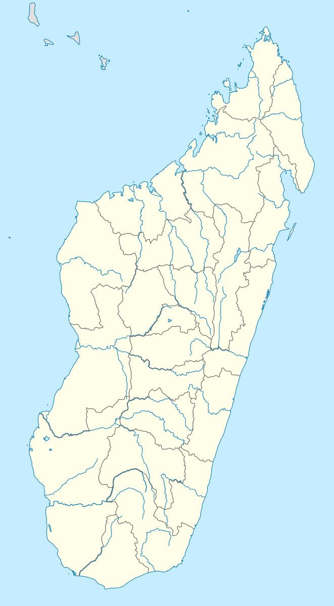
Map of Belamoty, Madagascar
Primary and junior level secondary education are available in town. The majority 80% of the population of the commune are farmers, while an additional 10% receives their livelihood from raising livestock. The most important crops are rice and cassava, while other important agricultural products are beans and tomato. Services provide employment for 8% of the population. Additionally fishing employs 2% of the population.
Geography
Belamoty is situated at the Onilahy River.
References
Belamoty Wikipedia(Text) CC BY-SA