
Area 66,236 km² Population 1.317 million (2013) | Time zone EAT (UTC3) | |
 | ||
University Institut halieutique et des sciences marines | ||
Atsimo-Andrefana is a region of Madagascar. It borders Menabe in north, Amoron'i Mania and Haute Matsiatra in northeast, Ihorombe and Anosy in east and Androy in southeast. The capital is Toliara and the population was estimated to be 1,316,756 in 2013. Atsimo Andrefana is geographically the largest of all Malagasy regions with an area of 66,236 km2 (25,574 sq mi).
Contents
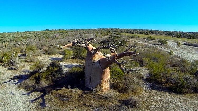
Map of Atsimo-Andrefana, Madagascar
Administrative divisions
Atsimo-Andrefana region is divided into nine districts, which are sub-divided into 105 communes.
Protected areas
In Atsimo-Andrefana are found the following protected areas:
References
Atsimo-Andrefana Wikipedia(Text) CC BY-SA