
Elevation 10 m (30 ft) Postal code 50906 | Area 262.1 km² | |
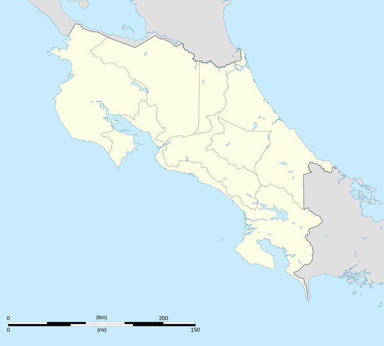 | ||
Bejuco District is a district and town in the canton of Nandayure, Guanacaste Province in Costa Rica.
Contents
Map of Guanacaste Province, Bejuco, Costa Rica
Located on the Nicoya Peninsula, the district has a population of around 3,300 people.
Villages
Administrative center of the district is the village of Bejuco.
Other villages in the district are Caletas, Candelillo, Corozalito, Chiruta, Chompipe (partly), I Griega, Islita, Jabilla, Jabillos, Maicillal, Maquencal, Milagro, Millal, Mono, Pampas, Paso Vigas, Pecal, Playa Coyote, Playa San Miguel, Pueblo Nuevo, Punta Bejuco, Puerto Coyote, Quebrada Nando, Quebrada Seca, Rancho Floriana, San Francisco de Coyote, San Gabriel, San Miguel, Triunfo and Zapote.
References
Bejuco District Wikipedia(Text) CC BY-SA