
Affiliation Agricultural Union Population (2015) 419 | Founded 1933 Local time Thursday 3:35 AM | |
 | ||
Founded by Lithuanian and Polish immigrants Weather 14°C, Wind S at 10 km/h, 99% Humidity | ||
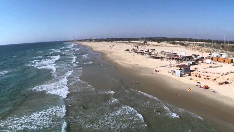
Beit Yanai (Hebrew: בֵּית יַנַּאי, lit. House of Yanai) is a moshav in central Israel. Located in the Sharon plain on the shore of the Mediterranean Sea around six kilometres north of Netanya, it falls under the jurisdiction of Hefer Valley Regional Council. In 2015 it had a population of 419.
Contents
Map of Beit Yanai, Israel
History
The moshav was founded in 1933 by immigrants from Lithuania and Poland, and was named after Alexander Jannaeus (known in Hebrew as Alexander Yanai) the Hasmonean king. There were several Americans among the original settlers.
A jetty, built in 1938 for unloading cargo, is located to the north of the moshav. The Altalena was anchored there, and it was used for exporting citrus fruits.
It later absorbed more immigrants from South Africa. By 1947 it had over 100 residents.