
Nahiyah Beit Jinn Time zone EET (UTC+2) | Occupation Jabhat Fateh al-Sham Area code 11 | |
 | ||
Governorate | ||
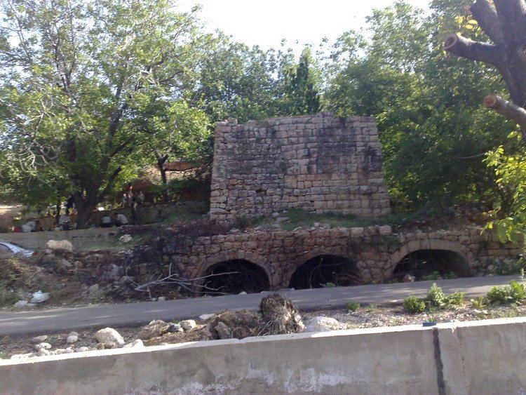
Beit Jinn (Arabic: بيت جن) also known as Bayt Jin, Beit Jann or Beyt Jene is a town in southern Syria, administratively part of the Rif Dimashq Governorate, located southwest of Damascus on the foothills of Mount Hermon. According to the Syria Central Bureau of Statistics, Beit Jinn had a population of 2,846 in the 2004 census. Its inhabitants are predominantly Sunni Muslims.
Contents
Map of Beit Jinn, Syria
The town is also the administrative center of the Beit Jinn Subdistrict which consists of nine towns with a combined population of 15,668. The subdistrict has a mixed Sunni and Druze population and Beit Jinn contains a Druze religious shrine. Nearby localities include Kafr Hawr, Qalaat al-Jandal and Qatana to the northeast and Sa'sa', Kanaker and Deir Maker to the southeast. The Nahr al-Awaj river (ancient Pharpar) passes near the town.
History
Beit Jinn was visited by Andalusian geographer Ibn Jubayr in the late 12th century, during Ayyubid rule. He noted that it was "a village between Darayyah and Baniyas lying among the hills."