
Founded by Iraqi immigrants Local time Thursday 3:25 AM | Founded 1950 Population (2015) 1,090 | |
 | ||
Weather 14°C, Wind S at 3 km/h, 98% Humidity | ||
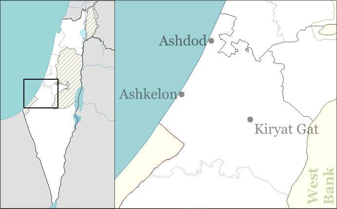
Beit Ezra (Hebrew: בֵּית עֶזְרָא, lit. House of Ezra) is a moshav in southern Israel. Located between Ashdod and Ashkelon on the Israeli coastal plain, it falls under the jurisdiction of Be'er Tuvia Regional Council. In 2015 it had a population of 1,090.
Contents
Map of Beit Ezra, Israel
History
The moshav was founded in 1950 by immigrants from Iraq on the land of the depopulated Palestinian village of Hamama and was named after Ezra. South of the moshav is Hill 69, which served as a military post and was the scene of fighting during the 1948 Arab–Israeli War. Also nearby is the Ad Halom bridge at which the Egyptian army was stopped during their advance towards Tel Aviv.
References
Beit Ezra Wikipedia(Text) CC BY-SA