
 | ||
Begur is a small village in Gundlupet taluk of Chamarajanagar district of Karnataka state, India.
Contents
Map of Begur, Karnataka 571109
Location
Begur is located between Gundlupet and Nanjangud towns on the Ooty-Bangalore Road. Begur is 35 km from Chamarajanagar and 15 km from Gundlupet. There is a post office in Begur and the pincode is 571109.
Villages and suburbs
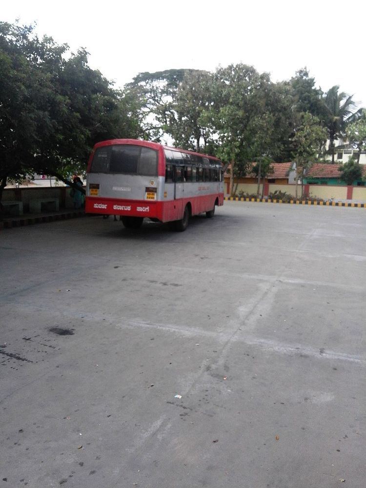
Transportation
There is no railway station in Begur. The nearest railway station is Mysore.
Highschool
References
Begur, Gundlupet Wikipedia(Text) CC BY-SA