
Country Netherlands Time zone CET (UTC+1) Area 25.2 km² Local time Wednesday 8:51 PM Area code 055 | Elevation 25 m (82 ft) Postcodes 7360 and 7361 Population 4,546 (1 Jan 2016) | |
 | ||
Weather 7°C, Wind S at 11 km/h, 90% Humidity | ||
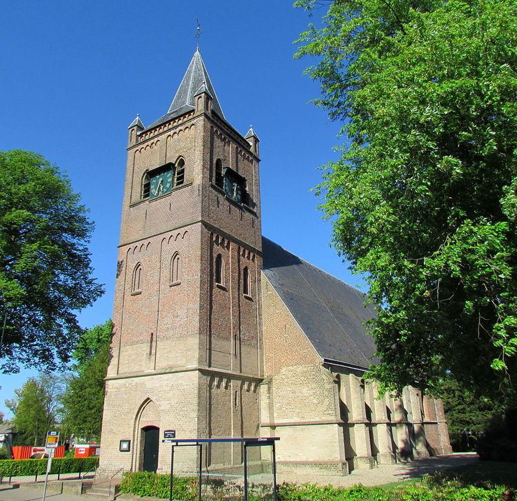
Beekbergen ( [ˈbeːɡbɛrɣə(n)]; Dutch Low Saxon: Bekbargen or Beekbargen) is a village and former municipality in the Dutch province of Gelderland. It is located in the municipality of Apeldoorn on the edge of the Veluwe. The rural area on the southwestern side of the village is dominated by forests and the rural area on the northeastern side by agricultural land. A hamlet called Engeland is situated inside the rural area that is part of Beekbergen, as well as several holiday villages, campsites and hotels. The village also houses a number of retirement homes and a homeless shelter, called "Het Hoogeland". Beekbergen had 4,546 residents on January 1, 2016, of which about three out of five people were living inside the urban area.
Map of Beekbergen, Netherlands
Beekbergen was a separate municipality until 1818, when it became a part of Apeldoorn.
There is a Beekbergen railway station, situated about a kilometer outside of Beekbergen, in the village of Lieren. This station is home to a steam railway that runs from Dieren to Apeldoorn operated by the Veluwsche Stoomtrein Maatschappij. The VSM engine sheds are located at 'Beekbergen'.