
OS grid TQ7257432820 Operator Forestry Commission | Area 10.5 km² | |
 | ||
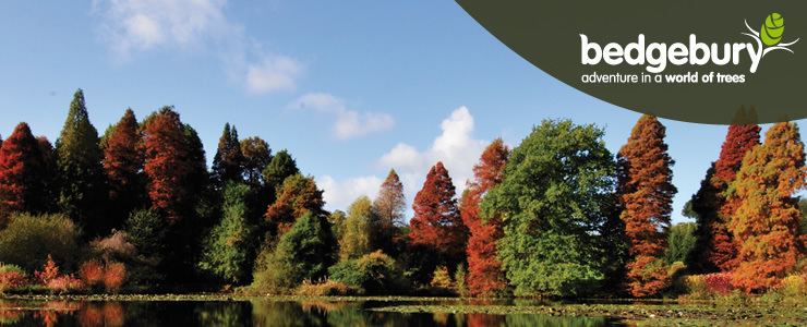
Operated by The Forestry Commission Similar Bedgebury National Pinetum, Bewl Water, Finchcocks, Go Ape, Bluebell Hill Picnic Site | ||
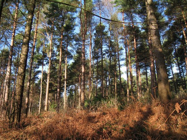
Mtb bedgebury forest red run
Bedgebury Forest is a 10.5 square kilometres (2,600 acres) forest surrounding Bedgebury National Pinetum, near Flimwell in Kent. In contrast to the National Pinetum, which contains exclusively coniferous trees, the forest contains both deciduous and coniferous species. It forms part of the High Weald Area of Outstanding Natural Beauty, and is one of the so-called "Seven Wonders Of The Weald". Bedgebury Forest has facilities for cycling, mountain biking, riding, orienteering and adventure play.
Contents
- Mtb bedgebury forest red run
- Bedgebury forest mtb may 2016
- History
- Geography
- Activities
- Cycling
- Running and orienteering
- Riding
- Adventure play
- Music
- References
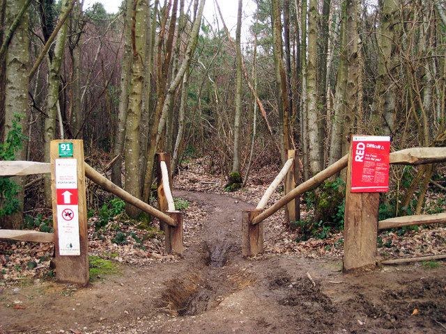
Bedgebury forest mtb may 2016
History
Bedgebury is first mentioned in an Anglo-Saxon charter in AD 841, the name deriving from the Old English bycgan, meaning "buy", and the Kentish vecge, meaning "to bend or turn", possibly in reference to a stream.
Bedgebury Forest has always been wooded and is classed as an ancient woodland. Heather is present, which indicates that parts of the forest may have been managed as wooded heath. Streams in the Forest show evidence of dams, storing water for the Wealden iron industry and later the ornamental lakes on the Bedgebury Estate.
Geography
Bedgebury Forest is located between Goudhurst, Hawkhurst and Flimwell in the High Weald of Kent. It is situated on a high plateau, amongst the rolling hills of the Wealden Group. The geology is mostly clay and sandstone, and the soil is poor and acidic, which is the reason for the woodland's persistence: better, more accessible land was cleared for agriculture long ago. Bedgebury Forest falls within the catchment areas of the rivers Medway and Rother.
Activities
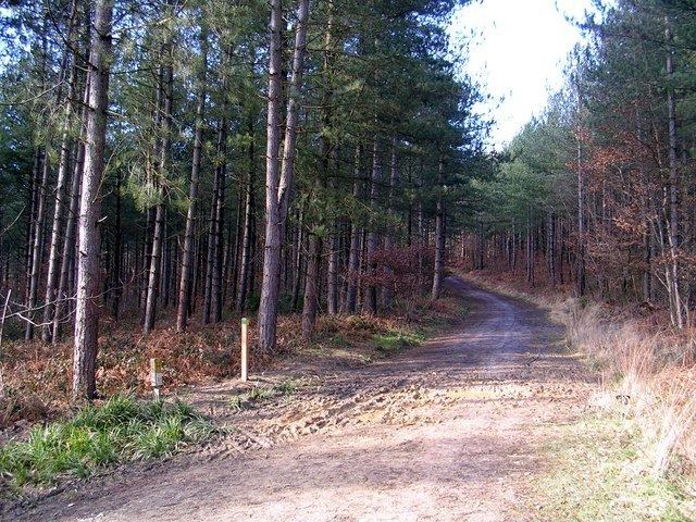
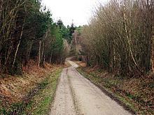
Bedgebury Forest is open to the public and provides facilities for cycling, mountain biking, riding, orienteering and adventure play. The network of paths and tracks that run through the forest provide opportunities for walking and running.
Cycling
There are 13 kilometres (8.1 mi) of surfaced cycle track and 13 kilometres (8.1 mi) of single-track mountain-bike routes, and a "free-ride" area has been set up that allows riders to perform jumps and stunts. The Visitor Centre provides cycles for hire. In 2006 Bedgebury Forest Cycling Club was set up.
Running and orienteering
Bedgebury Forest has four orienteering routes of varying difficulty levels, designed by a British Orienteering Federation-affiliated group. The shortest is 1.6 kilometres (0.99 mi), the longest is 2.7 kilometres (1.7 mi), with maps provided by the Visitor Centre. Bedgebury Forest also hosts an annual 10 km charity run.
Riding
There are dedicated way-marked horse-riding trails across the forest that link to existing bridlepaths, creating a network of horse-friendly routes. Riders must be in possession of a TROT permit.
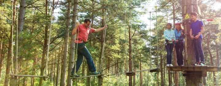
Adventure play
Bedgebury Forest has a specially designed adventure play area incorporating trails, swings, climbing walls and other child play facilities. A Go Ape adventure course was installed in spring 2007.
Music
The Forestry Commission uses part of the land as a concert venue.