NTS Map 062F07 | Time zone CST (UTC−6) GNBC Code GACBL Area code 204 | |
 | ||
Bede is a community in the Rural Municipality of Albert, Manitoba, Canada. The community is located at the intersection of Highway 345 & Highway 83 between the communities of Broomhill and Bernice, approximately 115 km south-west of Brandon, Manitoba only 16 km north of the Town of Melita. Very little remains of Bede, only a historic school house and the community cemetery remain.
Contents
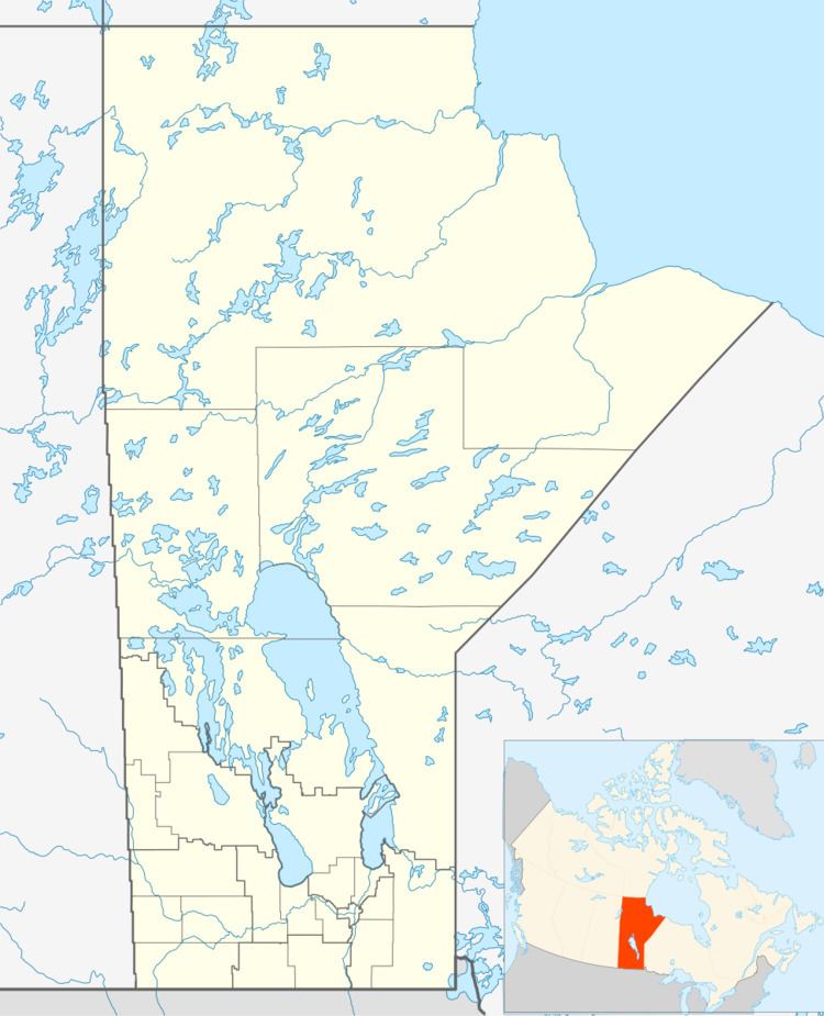
Map of Bede, MB, Canada
The first Post Office, located on 30-5-26W, was opened under the name of Shilson in 1897. It became Ruth in 1908 and was located on 18-5-26W. The P.O. became Bede in 1925. It became a Canadian Pacific railway point in 1906.
Infrastructure
Bede is served by Manitoba highways 345 and 83.
References
Bede, Manitoba Wikipedia(Text) CC BY-SA
