
Time zone CET (UTC+1) Population 394 (1999) | Region Normandy Canton Forges-les-Eaux Area 12.97 km² Local time Wednesday 5:29 AM | |
 | ||
Weather 6°C, Wind SW at 23 km/h, 87% Humidity | ||
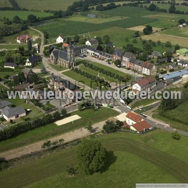
Beaubec-la-Rosière is a commune in the Seine-Maritime department in the Haute-Normandie region in northern France.
Contents
Map of 76440 Beaubec-la-Rosi%C3%A8re, France
Geography
A forestry and farming village in the Pays de Bray, situated some 35 miles (56 km) southeast of Dieppe, at the junction of the D35 and D1314 roads.
History
Formed by the merger in 1825 of Beaubec-la-Ville, whose original Scandinavian name means ‘’beautiful stream’’ and La Rosière which owes its name to the many reeds of the wetlands. The rivers Epte and Andelle have their source nearby. Founded in 1127 by Hughes de Gournay, the abbey of Bellus-Beccus housed the relics of St Helier, martyred in Jersey in the 6th century. The abbey was destroyed by fire in 1383 and partially rebuilt in the 15th and 18th century. The abbey was looted, sold and demolished during the French Revolution. All that remains are the chapel of St. Ursula and a few traces of the infirmary, the farm and dependencies.