
Date established 1850s (Approx.) Southeast (Waitemata Harbour) Southwest (Waitemata Harbour) | Population 2,307 (2006) South (Waitemata Harbour) West (Waitemata Harbour) | |
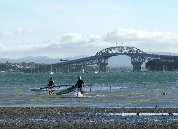 | ||
Bayswater is a suburb of Auckland in New Zealand. It lies on a peninsula which juts into the Waitemata Harbour. The population was 2,307 in the 2006 Census, a reduction of 3 people from 2001. The suburb is in the North Shore ward, one of the thirteen administrative divisions of Auckland Council.
Contents
Map of Bayswater, Auckland, New Zealand
Bayswater was originally named O'Neill's Point after the first European settlers in the area, brothers Allan and James O'Neill. Originally settling at the point (which still bears their name) at the end of the peninsula in the 1840s, by the 1850s the O'Neills owned the entire peninsula. Some time later the area was renamed Bayswater after one of the more expensive new inner suburbs of London. The London Bayswater is located north of Hyde Park and was developed during the middle of the 19th century. The name was chosen for the Auckland suburb to evoke a sense of style as well as being a straight description of its physical location as a seaside development.
Education
Bayswater School is a coeducational contributing primary (years 1-6) school with a decile rating of 9 and a roll of 172. The school celebrated its 50th Jubilee in 2003.