
Length 13 km | Country United States of America | |
 | ||
River mouth Confluence with Cherry Creek6,000 ft (1,800 m) Progression | ||
Dog park denver bayou gulch parker co off leash dog park
The Bayou Gulch is one of the tributaries of the Cherry Creek and is located in the U.S. states of Colorado. It is part of the Colorado Eastern Plains.
Contents
- Dog park denver bayou gulch parker co off leash dog park
- Map of Bayou Gulch Colorado USA
- Nancy sammons bayou gulch dog park favorite places
- Description
- Recreational opportunities
- References
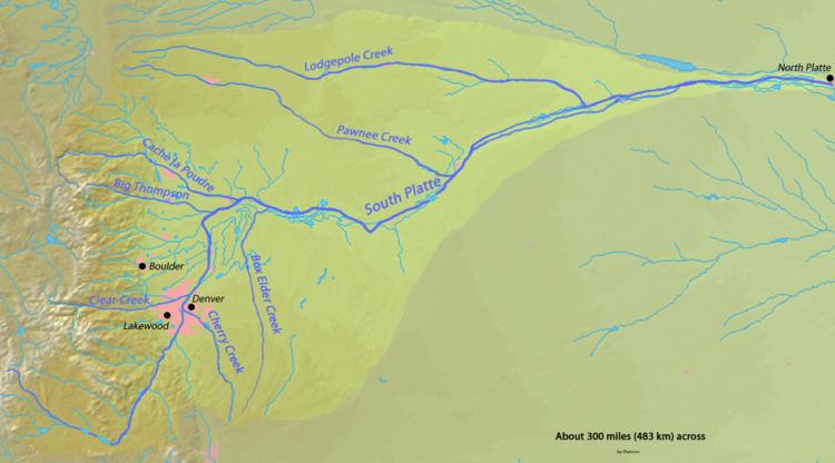
Map of Bayou Gulch, Colorado, USA
Nancy sammons bayou gulch dog park favorite places
Description
The gulch is formed in Elbert County, Colorado, southeast of Denver, and approximately 1 mile (1.6 km) southeast of Ponderosa Park.
The Gulch flows west through Eastern Douglas County, the Gulch flows into Cherry Creek. One Road Follows the Gulch this road is called Bayou Gulch Road it is named after the gulch. The Gulch is dry the majority of the year and has been dry for years.
Recreational opportunities
There is a park that is next to the gulch with a playground basketball hoops, football field, baseball field, and hiking trails.
References
Bayou Gulch Wikipedia(Text) CC BY-SA