
Area 4,794 km² Population 23,733 (2013) Unemployment rate 3.7% (Apr 2015) | Founded 1874 | |
 | ||
Website www.elbertcounty-co.gov Rivers Horse Creek, North Rush Creek, South Rush Creek | ||
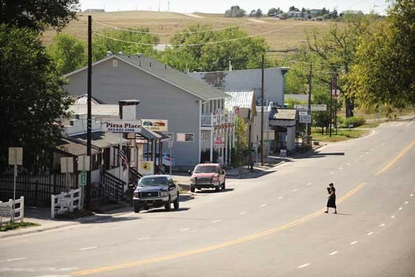
Elbert County is one of the 64 counties of the U.S. state of Colorado. As of the 2010 census, the population was 23,086. The county seat is Kiowa.
Contents
Map of Elbert County, CO, USA
Elbert County is included in the Denver-Aurora-Lakewood, CO Metropolitan Statistical Area.
History
Elbert County was created on February 2, 1874, from the eastern portions of Douglas County. On February 6, 1874, the county was enlarged to include part of northern Greenwood County upon Greenwood's dissolution, and originally extended south and east of its present boundaries to reach to the Kansas state line. The county was named for Samuel Hitt Elbert, the Governor of the Territory of Colorado when the county was formed. In 1889, Elbert County was reduced to its modern size when its eastern portions were taken to create Lincoln, Kit Carson, and Cheyenne counties.
Geography
According to the U.S. Census Bureau, the county has a total area of 1,851 square miles (4,790 km2), of which 1,851 square miles (4,790 km2) is land and 0.2 square miles (0.52 km2) (0.01%) is water.
Adjacent counties
Demographics
As of the census of 2000, there were 19,872 people, 6,770 households, and 5,652 families residing in the county. The population density was 11 people per square mile (4/km²). There were 7,113 housing units at an average density of 4 per square mile (1/km²). The racial makeup of the county was 95.22% White, 0.64% Black or African American, 0.63% Native American, 0.37% Asian, 0.09% Pacific Islander, 1.28% from other races, and 1.76% from two or more races. 3.85% of the population were Hispanic or Latino of any race.
There were 6,770 households out of which 42.80% had children under the age of 18 living with them, 75.10% were married couples living together, 5.70% had a female householder with no husband present, and 16.50% were non-families. 12.20% of all households were made up of individuals and 3.10% had someone living alone who was 65 years of age or older. The average household size was 2.93 and the average family size was 3.19.
In the county, the population was spread out with 30.20% under the age of 18, 5.50% from 18 to 24, 32.80% from 25 to 44, 25.50% from 45 to 64, and 6.00% who were 65 years of age or older. The median age was 37 years. For every 100 females there were 100.60 males. For every 100 females age 18 and over, there were 99.90 males.
The median income for a household in the county was $62,480, and the median income for a family was $66,740. Males had a median income of $45,329 versus $29,767 for females. The per capita income for the county was $24,960. About 2.50% of families and 4.00% of the population were below the poverty line, including 4.60% of those under age 18 and 4.50% of those age 65 or over.
Media
Elbert County has a weekly newspaper that is published in the Town of Elizabeth, the Meadowlark Herald, though the official newspapers used by the County is the Elbert County News. The Ranchland News is published in Simla. The online news New Plains also covers Elbert County news.